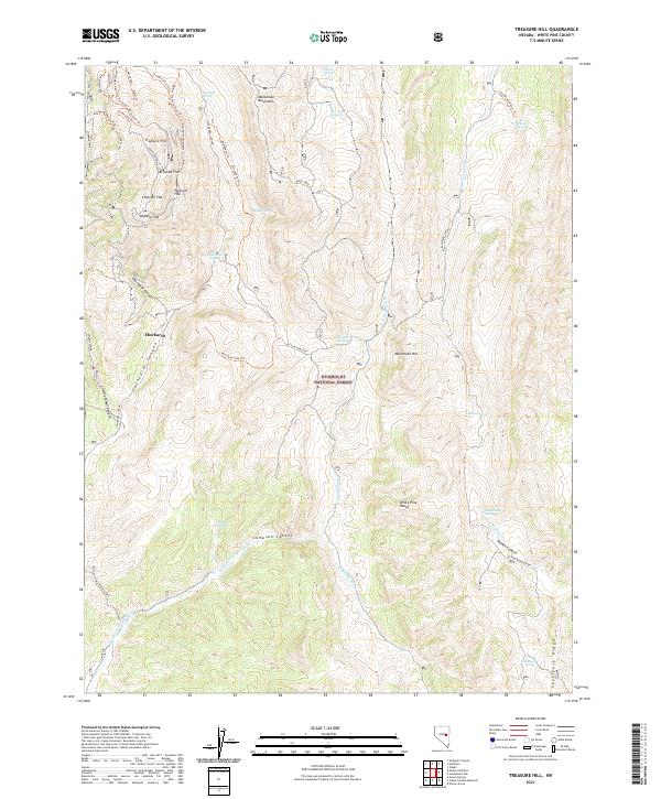
2021 Map of Treasure Hill
USGS Topo · Published 2021About this map
Treasure Hill and the surrounding heights of the Mokomoke Mountains define this high-altitude landscape in the Humboldt National Forest. The map documents a complex network of historic access points, including the Treasure Access and Shermantown Access, which lead to the prominent flats of Bromide Flat and Chloride Flat. These names reflect the silver mining heritage of the region, specifically around the Siegel Mine and the Hidden Treasure Mine Trl.
Find a feature on this map
56 named features on this map. Tap any name to fly to it.
Don’t see what you’re looking for? This feature index may not catch every label — zoom into the map to look around manually.
Map Details
Editions of this 2021 Treasure Hill Map
This is the sole edition of this map. No revisions or reprints were ever made.
Other maps of this area

1949 · Treasure Hill
USGS Topo · 1:62,500

1950 · Treasure Hill
USGS Topo · 1:62,500

1951 · Green Springs
USGS Topo · 1:62,500

1951 · Illipah
USGS Topo · 1:62,500

1951 · Pancake Summit
USGS Topo · 1:62,500

1956 · Ely
USGS Topo · 1:250,000

1959 · Ely
USGS Topo · 1:250,000

1963 · Ely
USGS Topo · 1:250,000

1979 · Mt. Hamilton
USGS Topo · 1:100,000
1990 · Seligman Canyon
USGS Topo · 1:24,000