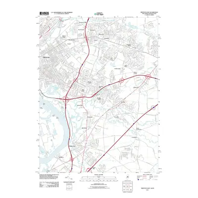
2011 Map of Trenton East
USGS Topo · Published 2011About this map
Trenton and its eastern suburbs form a dense network of residential and commercial corridors in this early 21st-century landscape. The area is defined by the heavy convergence of modern transportation infrastructure, where I-295, I-195, and the Conrail lines intersect near White Horse and Yardville Heights. Despite this modern development, the map retains traces of the region's older mill-town and village identities, including Hutchinson Mills, Dunns Mills, and the historic water power sites at Gropp Lake Dam and Whitehead Pond Dam.
Find a feature on this map
63 named features on this map. Tap any name to fly to it.
Don’t see what you’re looking for? This feature index may not catch every label — zoom into the map to look around manually.
Map Details
Editions of this 2011 Trenton East Map
This is the sole edition of this map. No revisions or reprints were ever made.
Other maps of this area

1888 · Bordentown
USGS Topo · 1:62,500

1888 · Princeton
USGS Topo · 1:62,500

1890 · Lambertville
USGS Topo · 1:62,500

1890 · Burlington
USGS Topo · 1:62,500

1891 · Lambertville
USGS Topo · 1:62,500

1893 · Bordentown
USGS Topo · 1:62,500

1893 · Burlington
USGS Topo · 1:62,500

1894 · Princeton
USGS Topo · 1:62,500

1894 · Lambertville
USGS Topo · 1:62,500

1904 · Burlington
USGS Topo · 1:62,500