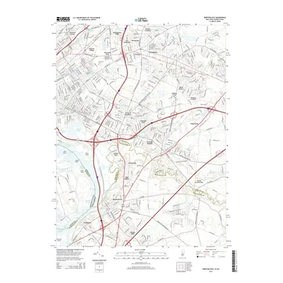
2014 Map of Trenton East
USGS Topo · Published 2014About this map
The Delaware and Raritan Canal carves a distinctive path through the northwestern corner of this landscape, reflecting New Jersey's enduring industrial and transport heritage. This detailed study captures the dense suburban development of Hamilton Township as it appeared in the early 21st century, where historic milling sites like Hutchinson Mills and Dunns Mills have transitioned into established residential neighborhoods. The Delaware River serves as a major geographical boundary, its complex shoreline defined by features like Duck Island, Newbold Island, and the Cochran Channel.
Find a feature on this map
64 named features on this map. Tap any name to fly to it.
Don’t see what you’re looking for? This feature index may not catch every label — zoom into the map to look around manually.
Map Details
Editions of this 2014 Trenton East Map
This is the sole edition of this map. No revisions or reprints were ever made.
Other maps of this area

1888 · Bordentown
USGS Topo · 1:62,500

1888 · Princeton
USGS Topo · 1:62,500

1890 · Lambertville
USGS Topo · 1:62,500

1890 · Burlington
USGS Topo · 1:62,500

1891 · Lambertville
USGS Topo · 1:62,500

1893 · Bordentown
USGS Topo · 1:62,500

1893 · Burlington
USGS Topo · 1:62,500

1894 · Princeton
USGS Topo · 1:62,500

1894 · Lambertville
USGS Topo · 1:62,500

1904 · Burlington
USGS Topo · 1:62,500