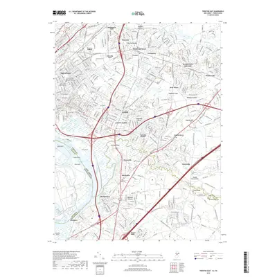
2019 Map of Trenton East
USGS Topo · Published 2019About this map
Crosswicks Creek snakes toward the Delaware River, defining the boundary between Mercer and Burlington counties in this modern topographic survey. The landscape is a dense network of suburban growth and historical settlements, where the industrial legacy of the Delaware and Raritan Canal meets the modern thoroughfare of Justice Samuel Alito Jr Way. The eastern outskirts of Trenton give way to established neighborhoods such as Hamilton Square and Mercerville, characterized by a high concentration of memorial sites like Greenwood Cem and Saint Mary's Cem. Downriver, the area around Bordentown and Fieldsboro remains oriented toward the water, with Duck Island and its navigation ranges sitting opposite the channel from Newbold Island. This detailed mapping captures the area's intricate drainage, including Doctors Creek and Miry Run, alongside the many small communities that form the fabric of Hamilton Township.
Find a feature on this map
76 named features on this map. Tap any name to fly to it.
Don’t see what you’re looking for? This feature index may not catch every label — zoom into the map to look around manually.
Map Details
Editions of this 2019 Trenton East Map
This is the sole edition of this map. No revisions or reprints were ever made.
Other maps of this area

1888 · Bordentown
USGS Topo · 1:62,500

1888 · Princeton
USGS Topo · 1:62,500

1890 · Lambertville
USGS Topo · 1:62,500

1890 · Burlington
USGS Topo · 1:62,500

1891 · Lambertville
USGS Topo · 1:62,500

1893 · Bordentown
USGS Topo · 1:62,500

1893 · Burlington
USGS Topo · 1:62,500

1894 · Princeton
USGS Topo · 1:62,500

1894 · Lambertville
USGS Topo · 1:62,500

1904 · Burlington
USGS Topo · 1:62,500