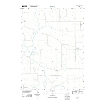
2010 Map of Trenton
USGS Topo · Published 2010About this map
The Skunk River meanders across this rural landscape, carving a prominent valley through Henry County as it appeared in the early 21st century. The settlement of Trenton stands as a focal point in the eastern portion of the map, while the smaller locality of Merrimac sits further west near the river's bend. This agricultural region is defined by a dense network of local cemeteries that reflect generations of rural community life, including the German Methodist Cemetery, Green Mound Cemetery, and Roth Cemetery.
Find a feature on this map
51 named features on this map. Tap any name to fly to it.
Don’t see what you’re looking for? This feature index may not catch every label — zoom into the map to look around manually.
Map Details
Editions of this 2010 Trenton Map
This is the sole edition of this map. No revisions or reprints were ever made.
Other maps of this area

1958 · Burlington
USGS Topo · 1:250,000

1958 · Davenport
USGS Topo · 1:250,000

1961 · Burlington
USGS Topo · 1:250,000

1961 · Davenport
USGS Topo · 1:250,000

1962 · Davenport
USGS Topo · 1:250,000

1963 · Burlington
USGS Topo · 1:250,000

1980 · Brighton
USGS Topo · 1:24,000

1980 · Lockridge West
USGS Topo · 1:24,000

1980 · Trenton
USGS Topo · 1:24,000

1980 · Wayland
USGS Topo · 1:24,000