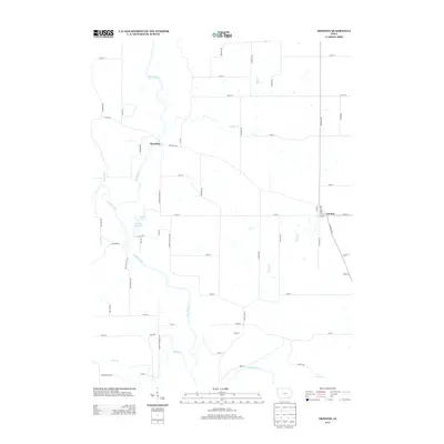
2013 Map of Trenton
USGS Topo · Published 2013About this map
Skunk River winds through this central Iowa landscape, creating a network of oxbows and riparian features such as Horse Shoe Lake and Spring Pond. The settlement of Trenton sits on the eastern edge of the quadrangle, where local routes like Birch Ave and 5th St form a small community grid amid the agricultural expanse of Henry County. To the northwest, the map documents Merrimac near the riverbank, reached by Merrimac Rd.
Find a feature on this map
56 named features on this map. Tap any name to fly to it.
Don’t see what you’re looking for? This feature index may not catch every label — zoom into the map to look around manually.
Map Details
Editions of this 2013 Trenton Map
This is the sole edition of this map. No revisions or reprints were ever made.
Other maps of this area

1958 · Burlington
USGS Topo · 1:250,000

1958 · Davenport
USGS Topo · 1:250,000

1961 · Burlington
USGS Topo · 1:250,000

1961 · Davenport
USGS Topo · 1:250,000

1962 · Davenport
USGS Topo · 1:250,000

1963 · Burlington
USGS Topo · 1:250,000

1980 · Brighton
USGS Topo · 1:24,000

1980 · Lockridge West
USGS Topo · 1:24,000

1980 · Trenton
USGS Topo · 1:24,000

1980 · Wayland
USGS Topo · 1:24,000