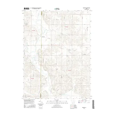
2015 Map of Trenton
USGS Topo · Published 2015About this map
The Skunk River winds diagonally through this pocket of Southeast Iowa, defining the border between Jefferson and Henry counties. Along its north bank, the small settlement of Merrimac sits near a sharp bend in the river, while the community of Trenton occupies higher ground to the east. The landscape is deeply carved by numerous tributaries, including Sugar Creek, Green Creek, and Brush Creek, which create a complex network of ridges and ravines throughout the township lines.
Find a feature on this map
48 named features on this map. Tap any name to fly to it.
Don’t see what you’re looking for? This feature index may not catch every label — zoom into the map to look around manually.
Map Details
Editions of this 2015 Trenton Map
This is the sole edition of this map. No revisions or reprints were ever made.
Other maps of this area

1958 · Burlington
USGS Topo · 1:250,000

1958 · Davenport
USGS Topo · 1:250,000

1961 · Burlington
USGS Topo · 1:250,000

1961 · Davenport
USGS Topo · 1:250,000

1962 · Davenport
USGS Topo · 1:250,000

1963 · Burlington
USGS Topo · 1:250,000

1980 · Brighton
USGS Topo · 1:24,000

1980 · Lockridge West
USGS Topo · 1:24,000

1980 · Trenton
USGS Topo · 1:24,000

1980 · Wayland
USGS Topo · 1:24,000