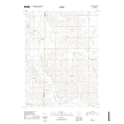
2018 Map of Trenton
USGS Topo · Published 2018About this map
The Skunk River carves a deep valley through this corner of southeast Iowa, defining the boundary between Jefferson and Henry counties. This rural landscape is anchored by the small settlements of Trenton and Merrimac, where the river’s winding course is met by numerous tributaries including Sugar Creek, Walnut Creek, and Brush Cr. The distribution of rural cemeteries across the township reveals a long-established agricultural community, with sites like the German Methodist Cem and White Oak Cem positioned near the rolling breaks of the river valley. The map details a dense network of county roads, such as Co Hwy H28 and White Oak Rd, which navigate the dissected terrain of the t73n r8w and t72n r7w townships.
Find a feature on this map
44 named features on this map. Tap any name to fly to it.
Don’t see what you’re looking for? This feature index may not catch every label — zoom into the map to look around manually.
Map Details
Editions of this 2018 Trenton Map
This is the sole edition of this map. No revisions or reprints were ever made.
Other maps of this area

1958 · Burlington
USGS Topo · 1:250,000

1958 · Davenport
USGS Topo · 1:250,000

1961 · Burlington
USGS Topo · 1:250,000

1961 · Davenport
USGS Topo · 1:250,000

1962 · Davenport
USGS Topo · 1:250,000

1963 · Burlington
USGS Topo · 1:250,000

1980 · Brighton
USGS Topo · 1:24,000

1980 · Lockridge West
USGS Topo · 1:24,000

1980 · Trenton
USGS Topo · 1:24,000

1980 · Wayland
USGS Topo · 1:24,000