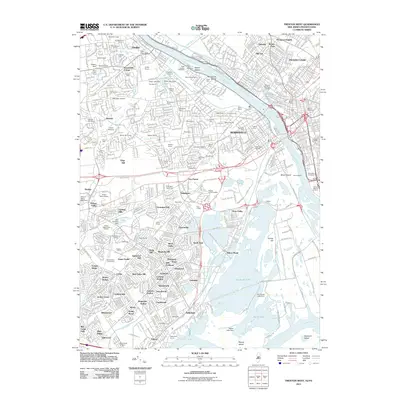
2011 Map of Trenton West
USGS Topo · Published 2011About this map
Morrisville and the western reaches of the Trenton area define this landscape, where the Delaware River separates New Jersey and Pennsylvania. This 2011 survey documents a heavily developed corridor characterized by a dense network of suburban neighborhoods such as Prospect Heights, Hillcrest, and Glendale. The industrial and maritime legacy of the riverfront is anchored by the Trenton Marine Terminal, while the historic Delaware and Raritan Canal traces the northern bank, a remnant of earlier transportation eras.
Find a feature on this map
133 named features on this map. Tap any name to fly to it.
Don’t see what you’re looking for? This feature index may not catch every label — zoom into the map to look around manually.
Map Details
Editions of this 2011 Trenton West Map
This is the sole edition of this map. No revisions or reprints were ever made.
Other maps of this area

1888 · Bordentown
USGS Topo · 1:62,500

1888 · Princeton
USGS Topo · 1:62,500

1890 · Lambertville
USGS Topo · 1:62,500

1890 · Burlington
USGS Topo · 1:62,500

1891 · Lambertville
USGS Topo · 1:62,500

1893 · Bordentown
USGS Topo · 1:62,500

1893 · Burlington
USGS Topo · 1:62,500

1894 · Princeton
USGS Topo · 1:62,500

1894 · Lambertville
USGS Topo · 1:62,500

1904 · Burlington
USGS Topo · 1:62,500
Featured Places
- Hamilton Township, NJ
- Trenton, NJ
- Levittown, Bristol Township
- Middletown Township, PA
- Ewing Township, NJ