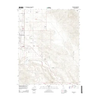
2015 Map of Tres Pinos
USGS Topo · Published 2015About this map
Tres Pinos and the expanding southeastern edges of Hollister define the settlement pattern along the corridor where the San Benito River meets the foothills of the Diablo Range. This survey details a landscape in transition, where residential developments like Ridgemark and numerous suburban streets such as Cerra Vista Dr and Sunnyslope Rd border the traditional agricultural reaches of the Hollister Valley.
Find a feature on this map
65 named features on this map. Tap any name to fly to it.
Don’t see what you’re looking for? This feature index may not catch every label — zoom into the map to look around manually.
Map Details
Editions of this 2015 Tres Pinos Map
This is the sole edition of this map. No revisions or reprints were ever made.
Other maps of this area

1919 · San Benito
USGS Topo · 1:62,500

1919 · Hollister
USGS Topo · 1:48,000

1921 · Gonzales
USGS Topo · 1:62,500

1921 · Hollister
USGS Topo · 1:62,500

1922 · Quien Sabe
USGS Topo · 1:62,500

1923 · Hollister
USGS Topo · 1:62,500

1931 · San Benito
USGS Topo · 1:62,500

1940 · Hollister
USGS Topo · 1:62,500

1940 · Quien Sabe
USGS Topo · 1:62,500

1940 · San Benito
USGS Topo · 1:62,500