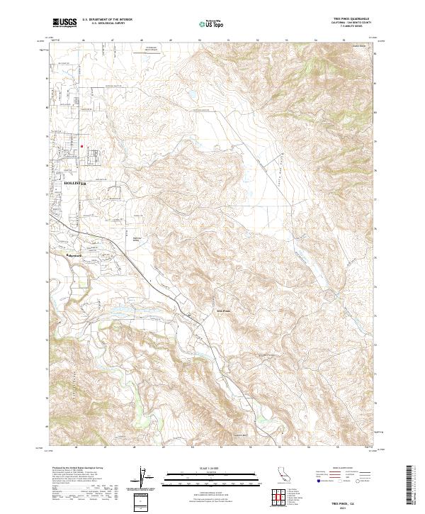
2021 Map of Tres Pinos
USGS Topo · Published 2021About this map
Hollister and the residential community of Ridgemark occupy the western portion of this San Benito County landscape, where the alluvial floor of the Hollister Valley meets the rising terrain of the Diablo Range and Gabilan Range. The settlement of Tres Pinos serves as a central point where Tres Pinos Cr flows through the valley toward its confluence with the San Benito River. This 2021 survey illustrates the transition from the dense street grids of the city to the expansive ranching and agricultural lands of the Santa Ana Valley. Aviation history and local transport are represented by the Christensen Ranch Airport to the north, while the rugged southeastern topography is defined by features like Swanson Bluff and Arroyo Hondo. The map detail captures a network of rural routes such as Santa Ana Valley Rd and John Smith Rd that connect these dispersed valley settlements.
Find a feature on this map
80 named features on this map. Tap any name to fly to it.
Don’t see what you’re looking for? This feature index may not catch every label — zoom into the map to look around manually.
Map Details
Editions of this 2021 Tres Pinos Map
This is the sole edition of this map. No revisions or reprints were ever made.
Other maps of this area

1919 · San Benito
USGS Topo · 1:62,500

1919 · Hollister
USGS Topo · 1:48,000

1921 · Gonzales
USGS Topo · 1:62,500

1921 · Hollister
USGS Topo · 1:62,500

1922 · Quien Sabe
USGS Topo · 1:62,500

1923 · Hollister
USGS Topo · 1:62,500

1931 · San Benito
USGS Topo · 1:62,500

1940 · Hollister
USGS Topo · 1:62,500

1940 · Quien Sabe
USGS Topo · 1:62,500

1940 · San Benito
USGS Topo · 1:62,500