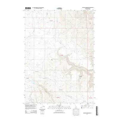
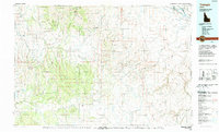
2013 Map of Triangle Reservoir
USGS Topo · Published 2013About this map
Triangle sits at the southwestern edge of this high-altitude landscape, serving as a primary point of reference in a region defined by complex drainage systems and isolated springs. The topography is dominated by the massive Antelope Ridge and the distinct peak of Toy Mtn, with the high meadow of Cow Valley tucked between them. This area represents a critical watershed for Owyhee County, where small drainages like N Fork Castle Cr and Meadow Cr carve through the high plateau.
Find a feature on this map
31 named features on this map. Tap any name to fly to it.
Don’t see what you’re looking for? This feature index may not catch every label — zoom into the map to look around manually.
Map Details
Editions of this 2013 Triangle Reservoir Map
This is the sole edition of this map. No revisions or reprints were ever made.
Other maps of this area

1955 · Jordan Valley
USGS Topo · 1:250,000

1957 · Jordan Valley
USGS Topo · 1:250,000

1958 · Jordan Valley
USGS Topo · 1:250,000

1965 · Triangle
USGS Topo · 1:62,500
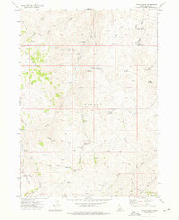
1972 · Pixley Basin
USGS Topo · 1:24,000
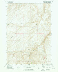
1972 · Antelope Spring
USGS Topo · 1:24,000
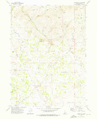
1972 · Clover Mtn
USGS Topo · 1:24,000

1973 · Hurry Up Creek
USGS Topo · 1:24,000

1973 · Wickiup Creek
USGS Topo · 1:24,000
1990 · Triangle
USGS Topo · 1:100,000