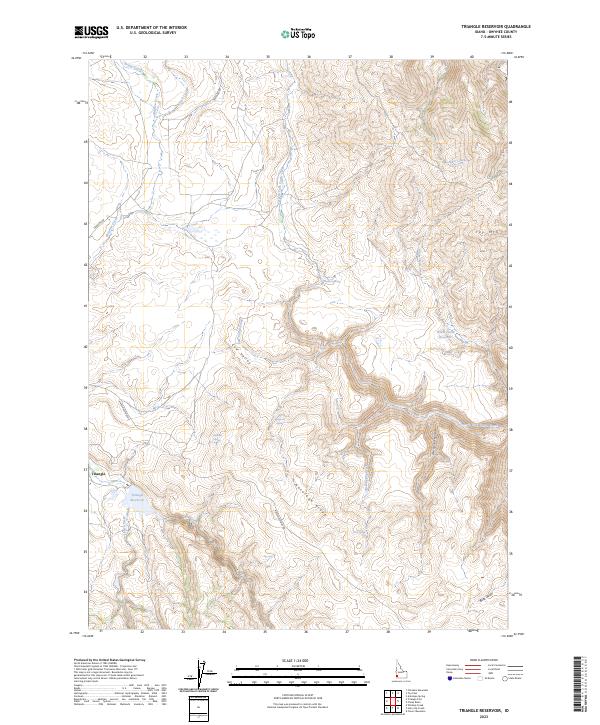
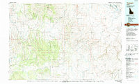
2023 Map of Triangle Reservoir
USGS Topo · Published 2023About this map
Triangle sits at the base of the high desert uplands in Owyhee County, where local ranching and water management define the landscape. This 2023 survey details a network of vital water sources including Triangle Reservoir and White Horse Reservoir, along with numerous named springs like Stagecoach Spring and Buckroo Spring that have long sustained livestock in this arid environment. The terrain is characterized by the prominent Antelope Ridge and the broad Cow Valley, which provide a natural drainage system for the North Fork Castle Creek and Cow Valley Creek.
Find a feature on this map
31 named features on this map. Tap any name to fly to it.
Don’t see what you’re looking for? This feature index may not catch every label — zoom into the map to look around manually.
Map Details
Editions of this 2023 Triangle Reservoir Map
This is the sole edition of this map. No revisions or reprints were ever made.
Other maps of this area

1955 · Jordan Valley
USGS Topo · 1:250,000

1957 · Jordan Valley
USGS Topo · 1:250,000

1958 · Jordan Valley
USGS Topo · 1:250,000

1965 · Triangle
USGS Topo · 1:62,500
1972 · Pixley Basin
USGS Topo · 1:24,000
1972 · Antelope Spring
USGS Topo · 1:24,000
1972 · Clover Mtn
USGS Topo · 1:24,000

1973 · Hurry Up Creek
USGS Topo · 1:24,000

1973 · Wickiup Creek
USGS Topo · 1:24,000
1990 · Triangle
USGS Topo · 1:100,000