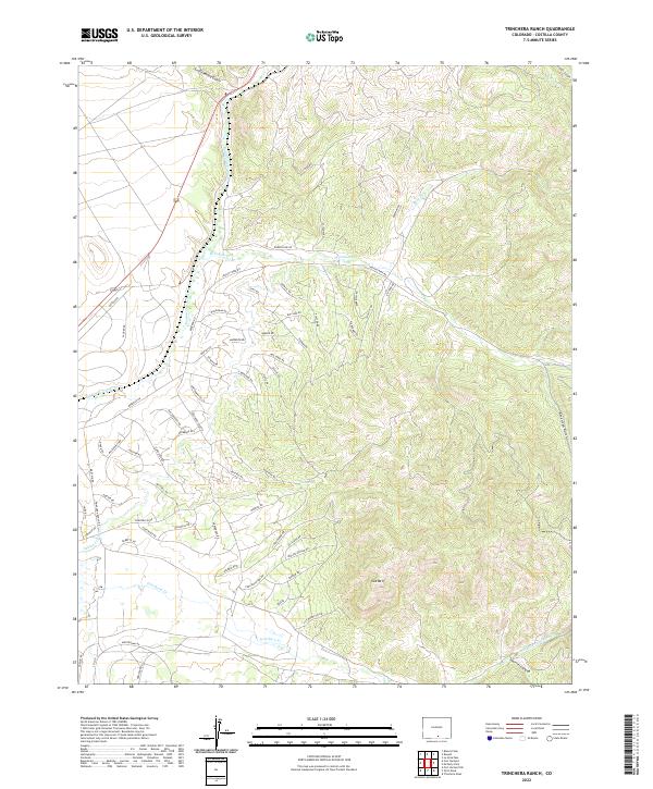
2022 Map of Trinchera Ranch
USGS Topo · Published 2022About this map
Cat Mtn serves as a prominent landmark in this southern Colorado landscape, where complex drainage systems and a dense network of private ranch roads define the territory. The topography is shaped by the descent from high ridges into watercourses like Sangre de Cristo Cr and Trinchera Cr. The presence of numerous named roads, such as Ehrenclow Rd, Woodanan Rd, and Sultzberger Rd, reflects the modern subdivision and management of the vast ranch lands. While primarily rural and topographically intense, the map reveals specific points of interest like Cat Spring and the drainage at Coyote Canyon. The arrangement of these access routes around natural features like Squirrel Canyon provides a detailed look at how the terrain of Costilla County is navigated in the early twenty-first century.
Find a feature on this map
74 named features on this map. Tap any name to fly to it.
Don’t see what you’re looking for? This feature index may not catch every label — zoom into the map to look around manually.
Map Details
Editions of this 2022 Trinchera Ranch Map
This is the sole edition of this map. No revisions or reprints were ever made.
Other maps of this area

1889 · Huerfano Park
USGS Topo · 1:125,000

1892 · Huerfano Park
USGS Topo · 1:125,000

1954 · Trinidad
USGS Topo · 1:250,000

1955 · Trinidad
USGS Topo · 1:250,000

1958 · Trinidad
USGS Topo · 1:250,000

1959 · Trinidad
USGS Topo · 1:250,000

1963 · Mc Carty Park
USGS Topo · 1:24,000

1963 · La Veta Pass
USGS Topo · 1:24,000

1967 · Fort Garland SW
USGS Topo · 1:24,000

1967 · Ojito Peak
USGS Topo · 1:24,000