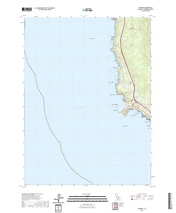
2021 Map of Trinidad
USGS Topo · Published 2021About this map
Trinidad sits perched above the Pacific, anchored by the massive geological prominence of Trinidad Head and the sheltered waters of Trinidad Bay. This coastal landscape is defined by its dramatic shoreline of sea stacks and rocky points, including Flatiron Rock, Blank Rock, and Prisoner Rock. Inland, the terrain rises sharply toward Candy Mtn, drained by small coastal streams like Mill Creek and McNeil Creek. The map documents a contemporary coastal infrastructure where historic routes like Stagecoach Road and Patricks Point Drive parallel the modern 101 corridor. Local landmarks such as the Trinidad Cemetery and the complex shoreline at College Cove offer specific points of interest for those studying the intersection of Northern California's maritime geography and its small-town coastal settlement.
Find a feature on this map
47 named features on this map. Tap any name to fly to it.
Don’t see what you’re looking for? This feature index may not catch every label — zoom into the map to look around manually.
Map Details
Editions of this 2021 Trinidad Map
This is the sole edition of this map. No revisions or reprints were ever made.
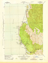
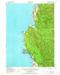
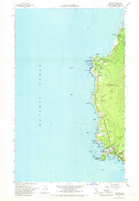
Historical Maps of Trinidad Through Time
4 maps found