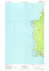
1966 Map of Trinidad
USGS Topo · Published 1968About this map
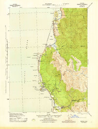
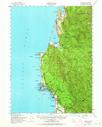
Trinidad serves as the focal point of this coastal survey, where the Humboldt State Coll Marine Laboratory and a prominent Lighthouse stand at Trinidad Head. The shoreline is defined by a dense concentration of named rocks and points, including Elk Head, Palmers Point, and Rocky Point, which offer insight into the maritime navigation and geological character of this Humboldt County stretch. The map documents the recreational and conservation landscape of the mid-1960s, showing the established boundaries of Patricks Point State Park and Dry Lagoon State Park. To the north, the small community of Big Lagoon and the nearby Union Sch illustrate the sparse but rooted settlement patterns of the era. Evidence of local industry appears at a Quarry near Mill Creek and a Lumber yard, while the presence of the US Coast Guard Reservation underscores the strategic maritime importance of Trinidad Bay.
Find a feature on this map
67 named features on this map. Tap any name to fly to it.
Don’t see what you’re looking for? This feature index may not catch every label — zoom into the map to look around manually.
Map Details
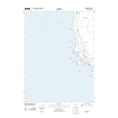
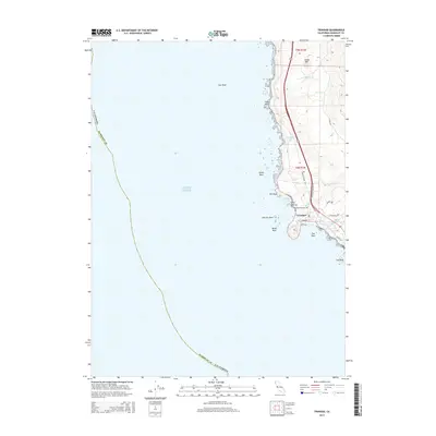
Editions of this 1966 Trinidad Map
This is the sole edition of this map. No revisions or reprints were ever made.
Historical Maps of Trinidad Through Time
7 maps found