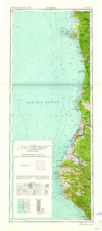
1961 Map of Eureka
USGS Topo · Published 1961About this map
The rugged Redwood Coast of Northern California is captured here in the early 1960s, showing the intricate relationship between the region's timber-rich forests and its maritime economy. From the Siskiyou National Forest down to the Mendocino County line, the map documents the Northwestern Pacific railroad corridor as it serves coastal hubs like Eureka and Arcata. Inland, the landscape is defined by vast protected groves including Jedediah Smith Redwoods State Park and Prairie Creek Redwoods State Park, interspersed with family-named holdings like Ambroisini Ranch and Chase Ranch. This survey provides significant genealogical value by locating scattered schools such as Patricks Point School and Dow's Prairie School, alongside historical indigenous sites like the Yontocket Indian Village Site and Steep Hill (Indian ranch) on the Hoopa Valley Indian Reservation.
Find a feature on this map
173 named features on this map. Tap any name to fly to it.
Don’t see what you’re looking for? This feature index may not catch every label — zoom into the map to look around manually.
Map Details
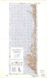
Editions of this 1961 Eureka Map
2 editions found
Other maps of this area

1916 · Cape Fortunas
USGS Topo · 1:62,500

1917 · Kerby
USGS Topo · 1:125,000

1918 · Kerby
USGS Topo · 1:125,000

1919 · Glynn
USGS Topo · 1:62,500

1920 · Pt. Delagda
USGS Topo · 1:62,500

1921 · Dyerville
USGS Topo · 1:62,500

1921 · Briceland
USGS Topo · 1:62,500

1921 · Cape Mendocino
USGS Topo · 1:62,500

1922 · Preston Peak
USGS Topo · 1:125,000

1922 · Eureka
USGS Topo · 1:62,500