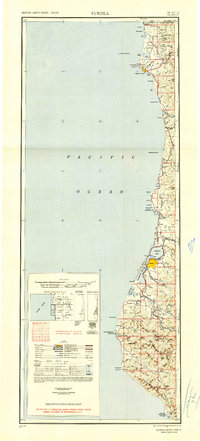
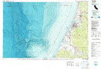
1961 Map of Eureka
USGS Topo · Published 1961About this map
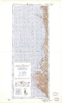
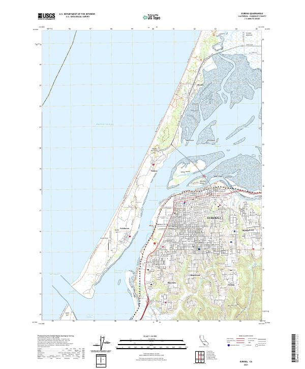
The Pacific Ocean coastline of Northern California anchors this 1961 edition, revealing a landscape defined by the timber-rich forests and the tidal waters of Arcata Bay and Humboldt Bay. The regional economy of the early 1960s is visible in the alignment of the Northwestern Pacific RR as it parallels the Eel River through the heart of the redwood country, connecting mill towns like Scotia and Rio Dell to the port at Eureka. Significant cultural sites appear along the northern coast, including the Yontocket Indian Village Site near the mouth of the Smith River.
Find a feature on this map
105 named features on this map. Tap any name to fly to it.
Don’t see what you’re looking for? This feature index may not catch every label — zoom into the map to look around manually.
Map Details
Editions of this 1961 Eureka Map
2 editions found
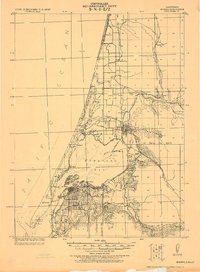
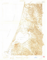
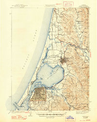
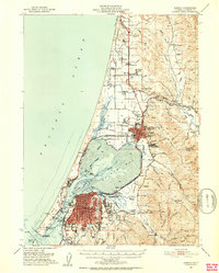
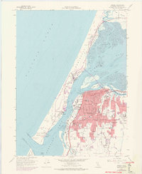
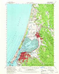
Historical Maps of Eureka Through Time
15 maps found
1922 Eureka
Humboldt County, CA
1933 Eureka
Humboldt County, CA
1942 Eureka
Humboldt County, CA
1949 Eureka
Humboldt County, CA
1951 Eureka
Humboldt County, CA

1958 Eureka
Humboldt County, CA
1958 Eureka
Humboldt County, CA

1958 Eureka
Humboldt County, CA
1959 Eureka
Humboldt County, CA

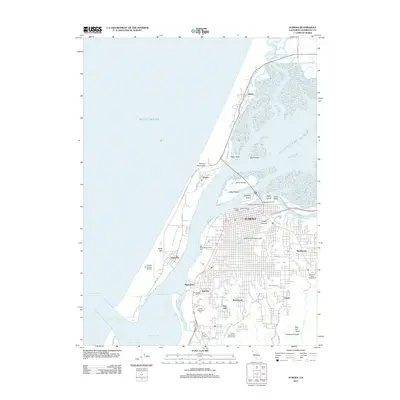
1961 Eureka
Humboldt County, CA
1987 Eureka
Humboldt County, CA
2012 Eureka
Humboldt County, CA
2015 Eureka
Humboldt County, CA
2018 Eureka
Humboldt County, CA
2021 Eureka
Humboldt County, CA