Loading...
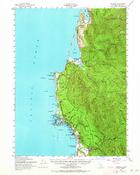
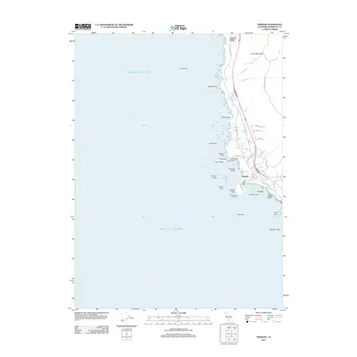
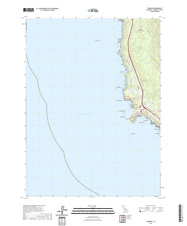
Loading map...1952 Map of Trinidad
USGS Topo · Published 1964About this map
The coastal headlands and ancient lagoons of Humboldt County define this mid-century portrait of the California shoreline. The town of Trinidad sits perched above the Pacific Ocean, anchored by the prominent Trinidad Head and its historic Lighthouse. To the south, the industrial activity of the era is evident at the logging settlement of Crannell and the tracks of the Hammond Lumber Co railroad, which once served the timber-rich hillsides.
Find a feature on this map
76 named features on this map. Tap any name to fly to it.
Don’t see what you’re looking for? This feature index may not catch every label — zoom into the map to look around manually.
Map Details
Date Portrayed1952
Date Published1964
PublisherU.S. Geological Survey
Map TypeTopographic
Scale1:62,500
Physical Dimensions16.6 x 20.8 inches
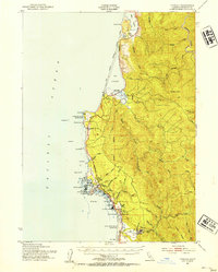
Editions of this 1952 Trinidad Map
2 editions found
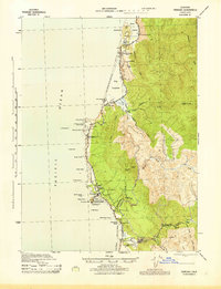
Historical Maps of McKinleyville Through Time
7 maps found
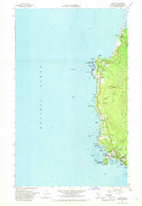
Featured Locations
Source Details
SourceU.S. Geological Survey
CopyrightPublic Domain