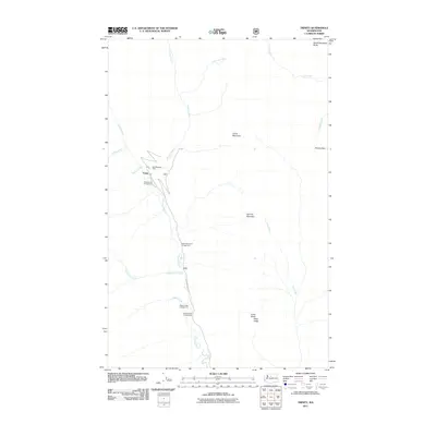
2011 Map of Trinity
USGS Topo · Published 2011About this map
Trinity serves as a central point of interest in this high-elevation landscape, where the Chiwawa River carves through a corridor of peaks and ridges. The map documents the relationship between early industrial activity and modern recreation, evidenced by the presence of the Red Mountain Mine near the settlement. This area is defined by its network of watercourses, including Phelps Creek, James Creek, and Little Giant Creek, which feed into the main river valley. Along the Chiwawa River Rd, a series of designated sites such as Alpine Meadows Campground and Maple Creek Campground indicate the land's transition toward protected forest use. Elevation is marked by prominent landmarks like Carne Mountain and Old Gib Mountain, while Pomas Pass offers a known route through the high terrain. The geography is bounded by notable heights, from South Spectacle Butte in the north to the southern profile of Estes Ridge.
Find a feature on this map
23 named features on this map. Tap any name to fly to it.
Don’t see what you’re looking for? This feature index may not catch every label — zoom into the map to look around manually.
Map Details
Editions of this 2011 Trinity Map
This is the sole edition of this map. No revisions or reprints were ever made.
Other maps of this area

1901 · Chiwaukum
USGS Topo · 1:125,000

1902 · Stehekin
USGS Topo · 1:125,000

1904 · Stehekin
USGS Topo · 1:125,000

1904 · Chiwaukum
USGS Topo · 1:125,000

1944 · Holden
USGS Topo · 1:62,500

1944 · Lucerne
USGS Topo · 1:62,500

1949 · Lucerne
USGS Topo · 1:62,500

1949 · Holden
USGS Topo · 1:62,500

1955 · Concrete
USGS Topo · 1:250,000

1957 · Wenatchee
USGS Topo · 1:250,000