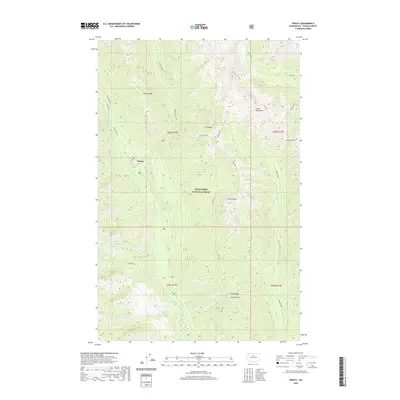
2020 Map of Trinity
USGS Topo · Published 2020About this map
The settlement of Trinity sits at the convergence of mountain waters within the Wenatchee National Forest, serving as a gateway to the high peaks of the Entiat Mountains. This alpine landscape is defined by the steep drainage of the Chiwawa River, which is fed by numerous tributaries including Phelps Creek, Buck Creek, and James Cr. The terrain rises sharply from the valley floor to prominent summits such as Carne Mtn and Old Gib Mtn.
Find a feature on this map
31 named features on this map. Tap any name to fly to it.
Don’t see what you’re looking for? This feature index may not catch every label — zoom into the map to look around manually.
Map Details
Editions of this 2020 Trinity Map
This is the sole edition of this map. No revisions or reprints were ever made.
Other maps of this area
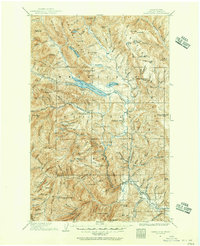
1901 · Chiwaukum
USGS Topo · 1:125,000
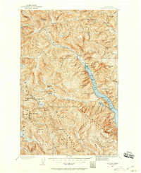
1902 · Stehekin
USGS Topo · 1:125,000
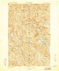
1904 · Stehekin
USGS Topo · 1:125,000
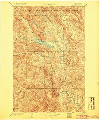
1904 · Chiwaukum
USGS Topo · 1:125,000
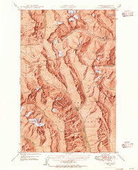
1944 · Holden
USGS Topo · 1:62,500
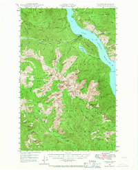
1944 · Lucerne
USGS Topo · 1:62,500
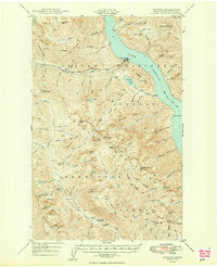
1949 · Lucerne
USGS Topo · 1:62,500
1949 · Holden
USGS Topo · 1:62,500
1955 · Concrete
USGS Topo · 1:250,000
1957 · Wenatchee
USGS Topo · 1:250,000