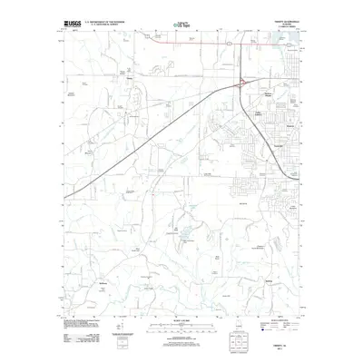
2011 Map of Trinity
USGS Topo · Published 2011About this map
Trinity serves as a central hub in this early 21st-century landscape, positioned north of the Southern Railroad and west of the growing suburbs of Decatur. The area is defined by a transition from the structured residential blocks of Moulton Heights and Austinville to the rural expanses of Basham and Wolftown. Genealogists will find a high density of burial grounds, including the large Roselawn Memorial Gardens and numerous smaller family or community plots such as Fennell Cemetery and Lile Cemetery.
Find a feature on this map
162 named features on this map. Tap any name to fly to it.
Don’t see what you’re looking for? This feature index may not catch every label — zoom into the map to look around manually.
Map Details
Editions of this 2011 Trinity Map
This is the sole edition of this map. No revisions or reprints were ever made.
Other maps of this area

1888 · Cullman
USGS Topo · 1:125,000

1888 · Huntsville
USGS Topo · 1:125,000

1892 · Cullman
USGS Topo · 1:125,000

1892 · Huntsville
USGS Topo · 1:125,000

1935 · Danville
USGS Topo · 1:48,000

1935 · Oakville
USGS Topo · 1:24,000

1936 · Caddo
USGS Topo · 1:24,000

1936 · Hartselle
USGS Topo · 1:24,000

1936 · Decatur
USGS Topo · 1:24,000

1936 · Stewart Cross Roads
USGS Topo · 1:24,000