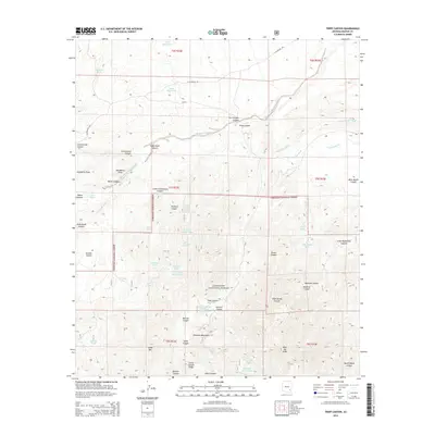
2014 Map of Tripp Canyon
USGS Topo · Published 2014About this map
The Coronado National Forest dominates this section of Graham County, where the high-elevation terrain of the Pinaleno Mountains gives way to a complex network of canyons and washes. Evidence of historical land use for ranching and resource management is found in the numerous named water sources, such as Indian Spring and the Two Troughs Spring Tank, which supported livestock and travelers in this arid environment. Significant geographic landmarks including Cedar Mtn and Johns Canyon Ridge provide a clear view of the mountain range's northern foothills.
Find a feature on this map
55 named features on this map. Tap any name to fly to it.
Don’t see what you’re looking for? This feature index may not catch every label — zoom into the map to look around manually.
Map Details
Editions of this 2014 Tripp Canyon Map
This is the sole edition of this map. No revisions or reprints were ever made.
Other maps of this area

1940 · Sierra Bonita Ranch
USGS Topo · 1:62,500

1942 · Sierra Bonita Ranch
USGS Topo · 1:62,500

1942 · Mt. Graham
USGS Topo · 1:62,500

1943 · Sierra Bonita Ranch
USGS Topo · 1:62,500

1944 · Jackson Mtn.
USGS Topo · 1:62,500

1945 · Mt. Graham
USGS Topo · 1:62,500

1946 · Jackson Mtn.
USGS Topo · 1:62,500

1954 · Silver City
USGS Topo · 1:250,000

1956 · Tucson
USGS Topo · 1:250,000

1958 · Silver City
USGS Topo · 1:250,000