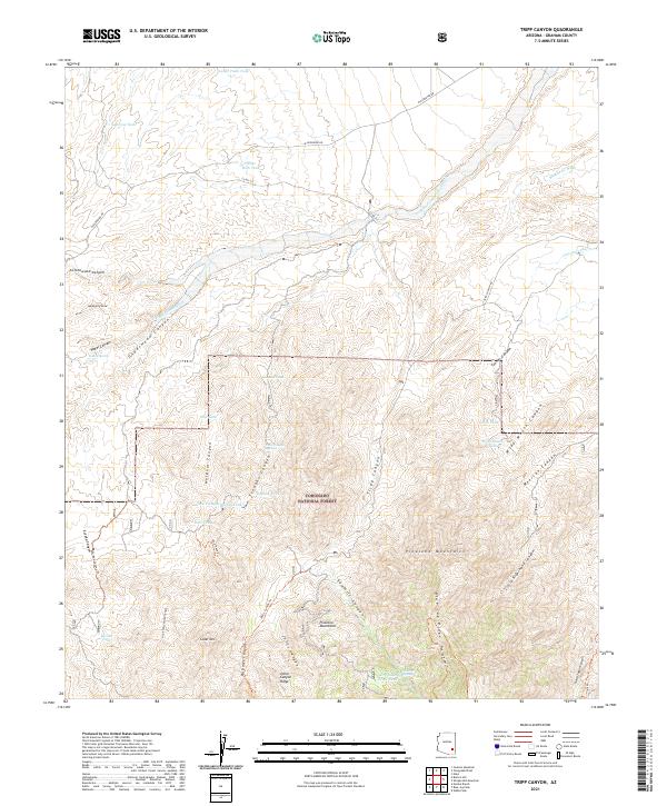
2021 Map of Tripp Canyon
USGS Topo · Published 2021About this map
The Pinaleno Mountains dominate this high-desert landscape in Graham County, where the Coronado National Forest covers much of the southern and central terrain. This modern survey illustrates a complex network of seasonal water sources and canyons essential for land management and recreation. Vital water points such as Indian Spring, Sawmill Spring, and Two Troughs Spring are interspersed among topographic landmarks like Cedar Mountain and Blue Jay Ridge. The map details the drainage patterns of Matthews Wash and the shared course of Tripp and Underwood Wash, which carve through the land alongside deep cuts like Cottonwood Canyon and Mexican Canyon. For those navigating the backcountry, the map identifies established routes including the Deer Tank Trail and Johns Canyon Trail, alongside remote infrastructure like the Pipeline Tank.
Find a feature on this map
54 named features on this map. Tap any name to fly to it.
Don’t see what you’re looking for? This feature index may not catch every label — zoom into the map to look around manually.
Map Details
Editions of this 2021 Tripp Canyon Map
This is the sole edition of this map. No revisions or reprints were ever made.
Other maps of this area

1940 · Sierra Bonita Ranch
USGS Topo · 1:62,500

1942 · Sierra Bonita Ranch
USGS Topo · 1:62,500

1942 · Mt. Graham
USGS Topo · 1:62,500

1943 · Sierra Bonita Ranch
USGS Topo · 1:62,500

1944 · Jackson Mtn.
USGS Topo · 1:62,500

1945 · Mt. Graham
USGS Topo · 1:62,500

1946 · Jackson Mtn.
USGS Topo · 1:62,500

1954 · Silver City
USGS Topo · 1:250,000

1956 · Tucson
USGS Topo · 1:250,000

1958 · Silver City
USGS Topo · 1:250,000