Loading...
Loading map...2023 Map of Trotwood
USGS Topo · Published 2023About this map
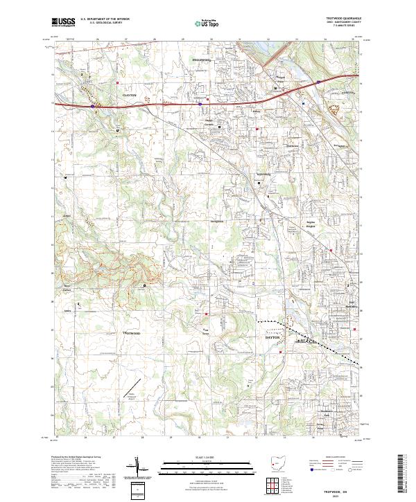
Trotwood and the surrounding Montgomery County landscape are defined by the winding tributaries of the Stillwater River, where the North Branch Wolf Creek and Wolf Creek shape the local topography. This 2023 survey illustrates the dense suburban integration of Englewood, Clayton, and Dayton, while preserving the locations of numerous historic burial grounds such as Clayton Cem, Cedar Hill Cem, and the Lower Stillwater Cem.
Find a feature on this map
77 named features on this map. Tap any name to fly to it.
Don’t see what you’re looking for? This feature index may not catch every label — zoom into the map to look around manually.
Map Details
Date Portrayed2023
Date Published2023
PublisherU.S. Geological Survey
Map TypeTopographic
Scale1:24000
Physical Dimensions24 x 29 inches
Editions of this 2023 Trotwood Map
This is the sole edition of this map. No revisions or reprints were ever made.
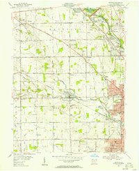
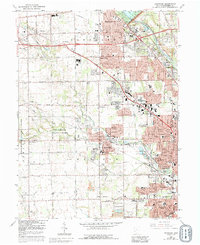
Historical Maps of Airhill Through Time
3 maps found
Featured Locations
Source Details
SourceU.S. Geological Survey
CopyrightPublic Domain