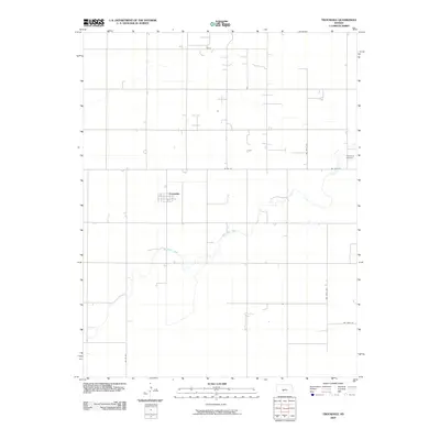
2009 Map of Trousdale
USGS Topo · Published 2009About this map
Trousdale serves as the primary hub of this rural Kansas landscape, situated amidst a highly structured grid of county roads and agricultural land. The terrain is defined by the winding course of Rattlesnake Creek, which meanders through the southern and eastern portions of the quadrangle, providing a sharp contrast to the straight-line geometry of the surrounding section roads. This survey, compiled from imagery and data between 2005 and 2008, illustrates the enduring spatial organization of Edwards County's farming communities. Genealogists and local historians will find the Prattsburg Cemetery in the northeastern corner, an important landmark for tracing family roots in the region. The map captures the area's transition into the early 21st century, showing how modern transportation routes like Co Rd 36 and Co Rd 53 integrate with the natural drainage patterns of the creek.
Find a feature on this map
9 named features on this map. Tap any name to fly to it.
Don’t see what you’re looking for? This feature index may not catch every label — zoom into the map to look around manually.
Map Details
Editions of this 2009 Trousdale Map
This is the sole edition of this map. No revisions or reprints were ever made.
Other maps of this area

1889 · Kinsley
USGS Topo · 1:125,000

1892 · Kinsley
USGS Topo · 1:125,000

1892 · Pratt
USGS Topo · 1:125,000

1894 · Kinsley
USGS Topo · 1:125,000

1894 · Pratt
USGS Topo · 1:125,000

1955 · Pratt
USGS Topo · 1:250,000

1959 · Pratt
USGS Topo · 1:250,000

1968 · Cullison
USGS Topo · 1:24,000

1968 · Haviland NW
USGS Topo · 1:24,000

1968 · Haviland NE
USGS Topo · 1:24,000