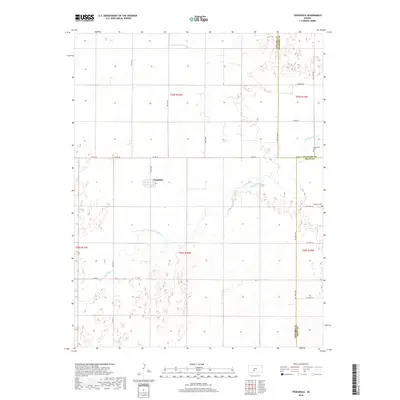
2018 Map of Trousdale
USGS Topo · Published 2018About this map
Trousdale serves as the central settlement in this corner of the Kansas prairie, where the landscape is defined by the wandering path of Rattlesnake Cr. The terrain is marked by numerous depressions and wetlands typical of this region, particularly as the creek moves through the central and western sections of the quadrangle. The map captures a transition point where three counties—Edwards, Stafford, and Pratt—meet, showing the structured grid of rural roads like Co RD 36 and SW 150th Ave that facilitate agricultural transit. Genealogists will find historical interest in the locations of Prattsburg Cem and Hopewell Cem, which stand as quiet landmarks along the eastern boundary. This 2018 survey by the U.S. Geological Survey provides a precise look at the drainage patterns and land divisions of this rural landscape.
Find a feature on this map
27 named features on this map. Tap any name to fly to it.
Don’t see what you’re looking for? This feature index may not catch every label — zoom into the map to look around manually.
Map Details
Editions of this 2018 Trousdale Map
This is the sole edition of this map. No revisions or reprints were ever made.
Other maps of this area

1889 · Kinsley
USGS Topo · 1:125,000

1892 · Kinsley
USGS Topo · 1:125,000

1892 · Pratt
USGS Topo · 1:125,000

1894 · Kinsley
USGS Topo · 1:125,000

1894 · Pratt
USGS Topo · 1:125,000

1955 · Pratt
USGS Topo · 1:250,000

1959 · Pratt
USGS Topo · 1:250,000

1968 · Cullison
USGS Topo · 1:24,000

1968 · Haviland NW
USGS Topo · 1:24,000

1968 · Haviland NE
USGS Topo · 1:24,000