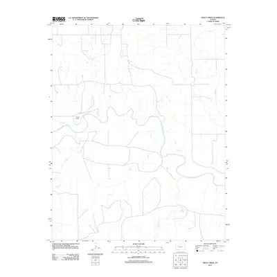
2012 Map of Trout Creek
USGS Topo · Published 2012About this map
The Cimarron River winds through the heart of this landscape, carving a prominent path through Comanche County. This 2012 survey illustrates a sparse, ranching-oriented terrain defined primarily by its drainage network and remote aviation infrastructure. Shupe Airport serves as a lone landmark near the river's northern banks, highlighting the importance of private aviation in the expansive plains of western Kansas. Tributaries like Snake Cr, Day Cr, and Trout converge toward the main river valley, while Bluff Cr and Willow Cr define the eastern reaches of the quadrangle. The map reveals a highly structured grid of section lines and local roads that cross the drainage basins, reflecting the enduring pattern of land division and agricultural development in the region.
Find a feature on this map
7 named features on this map. Tap any name to fly to it.
Don’t see what you’re looking for? This feature index may not catch every label — zoom into the map to look around manually.
Map Details
Editions of this 2012 Trout Creek Map
This is the sole edition of this map. No revisions or reprints were ever made.
Other maps of this area

1892 · Coldwater
USGS Topo · 1:125,000

1894 · Sitka
USGS Topo · 1:62,500

1896 · Ashland
USGS Topo · 1:125,000

1955 · Woodward
USGS Topo · 1:250,000

1955 · Pratt
USGS Topo · 1:250,000

1958 · Woodward
USGS Topo · 1:250,000

1959 · Pratt
USGS Topo · 1:250,000

1970 · Selman NW
USGS Topo · 1:24,000

1970 · Buffalo NW
USGS Topo · 1:24,000

1970 · Buffalo NE
USGS Topo · 1:24,000