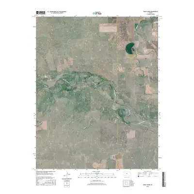
2015 Map of Trout Creek
USGS Topo · Published 2015About this map
The Cimarron River winds through the heart of this landscape, carving a prominent valley across the border of Clark and Comanche Counties. This 2015 survey illustrates a rural terrain defined by its watercourses and a strict grid of section lines and county roads, such as Ave S and Rd 2. The drainage network is particularly dense, with numerous tributaries like Bluff Cr, Trout Cr, and Willow Cr feeding into the main river system. This map captures the area as it remains largely dedicated to open range and agricultural divisions, with historical township and range boundaries like t34s r21w and t34s r20w providing the primary framework for land ownership and navigation in this portion of southwest Kansas.
Find a feature on this map
21 named features on this map. Tap any name to fly to it.
Don’t see what you’re looking for? This feature index may not catch every label — zoom into the map to look around manually.
Map Details
Editions of this 2015 Trout Creek Map
This is the sole edition of this map. No revisions or reprints were ever made.
Other maps of this area

1892 · Coldwater
USGS Topo · 1:125,000

1894 · Sitka
USGS Topo · 1:62,500

1896 · Ashland
USGS Topo · 1:125,000

1955 · Woodward
USGS Topo · 1:250,000

1955 · Pratt
USGS Topo · 1:250,000

1958 · Woodward
USGS Topo · 1:250,000

1959 · Pratt
USGS Topo · 1:250,000

1970 · Selman NW
USGS Topo · 1:24,000

1970 · Buffalo NW
USGS Topo · 1:24,000

1970 · Buffalo NE
USGS Topo · 1:24,000