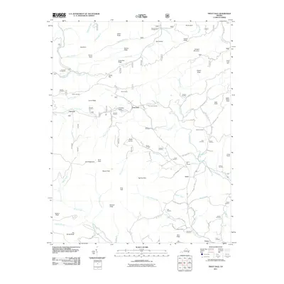
2011 Map of Trout Dale
USGS Topo · Published 2011About this map
Trout Dale and the surrounding high-country settlements of Grant and Volney define the rugged character of this corner of Grayson County. The landscape is a network of ridges and peaks, from Stone Mountain to Hickory Ridge, where the upper reaches of Fox Creek and Little Wilson Creek carve through the terrain. A dense concentration of family-named cemeteries, such as Sullivan Cemetery, Ross Cemetery, and Young Cemetery, provides a detailed record of the families who settled these valleys. The map also highlights the outdoor infrastructure of the region, including the Raccoon Branch Shelter and campgrounds at Hurricane and Raccoon Branch. These features, along with names like Dickey Gap and Bearpen Ridge, illustrate a community deeply connected to the geography of the Blue Ridge Highlands.
Find a feature on this map
96 named features on this map. Tap any name to fly to it.
Don’t see what you’re looking for? This feature index may not catch every label — zoom into the map to look around manually.
Map Details
Editions of this 2011 Trout Dale Map
This is the sole edition of this map. No revisions or reprints were ever made.
Other maps of this area

1889 · Wytheville
USGS Topo · 1:125,000

1891 · Abingdon
USGS Topo · 1:125,000

1892 · Wytheville
USGS Topo · 1:125,000

1894 · Abingdon
USGS Topo · 1:125,000

1909 · Abingdon
USGS Topo · 1:96,000

1911 · Abingdon
USGS Topo · 1:125,000

1931 · Rural Retreat
USGS Topo · 1:48,000

1935 · Mouth of Wilson
USGS Topo · 1:48,000

1935 · Park
USGS Topo · 1:24,000

1935 · Mount Rogers
USGS Topo · 1:48,000