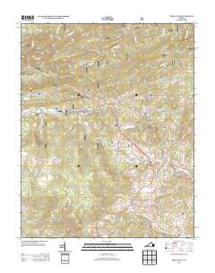
2013 Map of Trout Dale
USGS Topo · Published 2013About this map
Trout Dale and the surrounding high-country settlements of Fairwood and Grant characterize this detailed 2013 survey of Grayson County. The landscape is defined by its dramatic relief, with the Stone Mountain range featuring three distinct summits—First Peak, Second Peak, and Third Peak—rising above the narrow Fairwood Valley. This area is a significant hub for mountain recreation, marked by the Hurricane Campground, Raccoon Branch Campground, and the Raccoon Branch Shelter along the high ridges. The map meticulously documents the network of mountain waters, including Fox Cr and Little Wilson Cr, and the winding path of the Troutdale Hwy as it climbs through Dickey Gap. These topographic details reveal how the terrain dictated the placement of small communities and the historic roadway corridors that continue to serve this section of the Virginia highlands.
Find a feature on this map
87 named features on this map. Tap any name to fly to it.
Don’t see what you’re looking for? This feature index may not catch every label — zoom into the map to look around manually.
Map Details
Editions of this 2013 Trout Dale Map
This is the sole edition of this map. No revisions or reprints were ever made.
Other maps of this area

1889 · Wytheville
USGS Topo · 1:125,000

1891 · Abingdon
USGS Topo · 1:125,000

1892 · Wytheville
USGS Topo · 1:125,000

1894 · Abingdon
USGS Topo · 1:125,000

1909 · Abingdon
USGS Topo · 1:96,000

1911 · Abingdon
USGS Topo · 1:125,000

1931 · Rural Retreat
USGS Topo · 1:48,000

1935 · Mouth of Wilson
USGS Topo · 1:48,000

1935 · Park
USGS Topo · 1:24,000

1935 · Mount Rogers
USGS Topo · 1:48,000