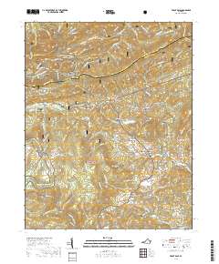
2019 Map of Trout Dale
USGS Topo · Published 2019About this map
Jefferson National Forest dominates this section of the Blue Ridge, where the borders of Smyth and Grayson counties meet along the crest of Iron Mountain. The landscape is defined by the high elevations of the Virginia Highlands, featuring landmarks like Dickey Knob and the multi-peaked terrain of First Peak and Third Peak. This 2019 survey documents a network of mountain roads and paths, most notably the Appalachian National Scenic Trail as it winds through Dickey Gap and past the high-country outpost at Scales.
Find a feature on this map
98 named features on this map. Tap any name to fly to it.
Don’t see what you’re looking for? This feature index may not catch every label — zoom into the map to look around manually.
Map Details
Editions of this 2019 Trout Dale Map
This is the sole edition of this map. No revisions or reprints were ever made.
Other maps of this area

1889 · Wytheville
USGS Topo · 1:125,000

1891 · Abingdon
USGS Topo · 1:125,000

1892 · Wytheville
USGS Topo · 1:125,000

1894 · Abingdon
USGS Topo · 1:125,000

1909 · Abingdon
USGS Topo · 1:96,000

1911 · Abingdon
USGS Topo · 1:125,000

1931 · Rural Retreat
USGS Topo · 1:48,000

1935 · Mouth of Wilson
USGS Topo · 1:48,000

1935 · Park
USGS Topo · 1:24,000

1935 · Mount Rogers
USGS Topo · 1:48,000