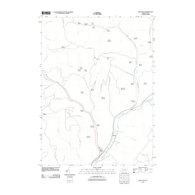
2010 Map of Trout Run
USGS Topo · Published 2010About this map
Trout Run serves as the focal point of this Pennsylvania landscape, situated at the confluence of several mountain streams and the winding Lycoming Creek. The settlement pattern follows the valley floors, with the small communities of Gray and Caldwell positioned along the creek's corridor. The surrounding terrain is defined by complex hollows and ridges, including family-named landmarks like Cochran Mountain and Bodine Mountain. Transportation across this upland environment relies on a network of mountain roads such as Bodine Mountain Rd and historic paths like the Williamson Trl. Evidence of the area's geography and past land use is seen in labels like Turntable Hollow and Splash Dam Run, hinting at the region's historic industries. Observation points at Elk Knob Vista and Bodine Mountain Overlook offer broad perspectives over the deep drainages of Wolf Run and Grays Run.
Find a feature on this map
67 named features on this map. Tap any name to fly to it.
Don’t see what you’re looking for? This feature index may not catch every label — zoom into the map to look around manually.
Map Details
Editions of this 2010 Trout Run Map
This is the sole edition of this map. No revisions or reprints were ever made.
Other maps of this area

1921 · Trout Run
USGS Topo · 1:62,500

1923 · Trout Run
USGS Topo · 1:62,500

1925 · Blossburg
USGS Topo · 1:62,500

1927 · Blossburg
USGS Topo · 1:62,500

1930 · Warrensville
USGS Topo · 1:62,500

1934 · Warrensville
USGS Topo · 1:62,500

1942 · Canton
USGS Topo · 1:62,500

1944 · Blossburg
USGS Topo · 1:62,500

1944 · Trout Run
USGS Topo · 1:62,500

1944 · Canton
USGS Topo · 1:62,500
Featured Places
- Lewis Township, PA
- Caldwell, Lewis Township
- Cogan House Township, PA
- McIntyre Township, PA
- Gamble Township, PA