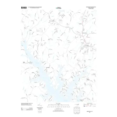
2013 Map of Troutman
USGS Topo · Published 2013About this map
The town of Troutman and the sprawling northern fingers of Lake Norman anchor this North Carolina landscape in the early twenty-first century. The map provides a detailed view of the shoreline's development, including local infrastructure such as Long Island Marina, the Long Island Airport, and the Stumpy Creek Access Area. Residential growth is evident in settlements like Barium Springs and East Monbo, while rural patterns persist around Kyles Crossroads and Bells Crossroads. The presence of the NS railroad line through Troutman highlights the area's long-standing transportation corridor between larger regional hubs. This survey preserves the complex geography of the Catawba River valley as it exists today, where modern recreation and suburban expansion meet the older rural communities of Eufola and Monbo.
Find a feature on this map
284 named features on this map. Tap any name to fly to it.
Don’t see what you’re looking for? This feature index may not catch every label — zoom into the map to look around manually.
Map Details
Editions of this 2013 Troutman Map
This is the sole edition of this map. No revisions or reprints were ever made.
Other maps of this area

1893 · Statesville
USGS Topo · 1:125,000

1895 · Hickory
USGS Topo · 1:125,000

1953 · Charlotte
USGS Topo · 1:250,000

1954 · Charlotte
USGS Topo · 1:250,000

1960 · Charlotte
USGS Topo · 1:250,000

1962 · Charlotte
USGS Topo · 1:250,000

1969 · Shepherds
USGS Topo · 1:24,000

1969 · Troutman
USGS Topo · 1:24,000
1969 · Mooresville
USGS Topo · 1:24,000

1969 · Statesville West
USGS Topo · 1:24,000