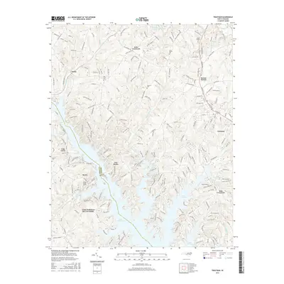
2016 Map of Troutman
USGS Topo · Published 2016About this map
Lake Norman dominates the southern landscape of this Iredell County region, its many-fingered inlets such as Stumpy Creek and Norwood Creek reaching deep into the Piedmont terrain. The area's historical development is anchored by the Norfolk Southern railway corridor, which passes through the established communities of Barium Springs and Troutman. These settlements serve as hubs for the surrounding rural crossroads and small residential clusters like Kyles Crossroads and Eufola.
Find a feature on this map
213 named features on this map. Tap any name to fly to it.
Don’t see what you’re looking for? This feature index may not catch every label — zoom into the map to look around manually.
Map Details
Editions of this 2016 Troutman Map
This is the sole edition of this map. No revisions or reprints were ever made.
Other maps of this area

1893 · Statesville
USGS Topo · 1:125,000

1895 · Hickory
USGS Topo · 1:125,000

1953 · Charlotte
USGS Topo · 1:250,000

1954 · Charlotte
USGS Topo · 1:250,000

1960 · Charlotte
USGS Topo · 1:250,000

1962 · Charlotte
USGS Topo · 1:250,000

1969 · Shepherds
USGS Topo · 1:24,000

1969 · Troutman
USGS Topo · 1:24,000
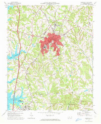
1969 · Mooresville
USGS Topo · 1:24,000

1969 · Statesville West
USGS Topo · 1:24,000