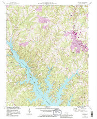
1993 Map of Troutman
USGS Topo · Published 1996About this map
Lake Norman dominates the southern landscape, where the waters of the Catawba River branch into numerous fingers including Hicks Creek, Rocky Creek, and Terrapin Creek. This 1993 revision, based on earlier 1960s aerial imagery, highlights the substantial footprint of Duke Power State Park along the lake's northern shores. The map captures the transition from rural crossroads like Kyles Crossroads and Bells Crossroads to more established hubs like Troutman and Barium Springs.
Find a feature on this map
48 named features on this map. Tap any name to fly to it.
Don’t see what you’re looking for? This feature index may not catch every label — zoom into the map to look around manually.
Map Details
Editions of this 1993 Troutman Map
This is the sole edition of this map. No revisions or reprints were ever made.
Other maps of this area

1893 · Statesville
USGS Topo · 1:125,000

1895 · Hickory
USGS Topo · 1:125,000

1953 · Charlotte
USGS Topo · 1:250,000

1954 · Charlotte
USGS Topo · 1:250,000

1960 · Charlotte
USGS Topo · 1:250,000

1962 · Charlotte
USGS Topo · 1:250,000

1969 · Shepherds
USGS Topo · 1:24,000

1969 · Troutman
USGS Topo · 1:24,000
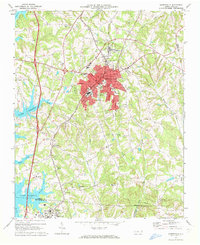
1969 · Mooresville
USGS Topo · 1:24,000

1969 · Statesville West
USGS Topo · 1:24,000