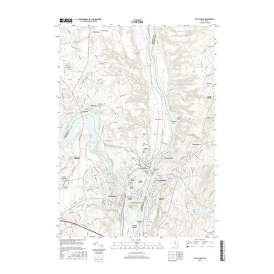
2016 Map of Troy North
USGS Topo · Published 2016About this map
The confluence of the Hudson River and the Mohawk River dominates this 2016 survey, where the industrial and transport legacies of eastern New York remain clearly visible in the landscape. The Old Champlain Canal and the Erie Canal Bridge trace the historic movement of goods through Waterford and Cohoes, while the natural power of the Cohoes Falls defines the river's path. The map reveals a complex archipelago of islands including Van Schaick Island, Peebles Island, and Green Island, which have long served as hubs for both industry and recreation.
Find a feature on this map
236 named features on this map. Tap any name to fly to it.
Don’t see what you’re looking for? This feature index may not catch every label — zoom into the map to look around manually.
Map Details
Editions of this 2016 Troy North Map
This is the sole edition of this map. No revisions or reprints were ever made.
Other maps of this area

1893 · Cohoes
USGS Topo · 1:62,500

1893 · Troy
USGS Topo · 1:62,500

1893 · Schenectady
USGS Topo · 1:62,500

1893 · Albany
USGS Topo · 1:62,500

1895 · Troy
USGS Topo · 1:62,500

1895 · Cohoes
USGS Topo · 1:62,500

1895 · Albany
USGS Topo · 1:62,500

1895 · Schenectady
USGS Topo · 1:62,500

1898 · Schenectady
USGS Topo · 1:62,500

1898 · Albany
USGS Topo · 1:62,500