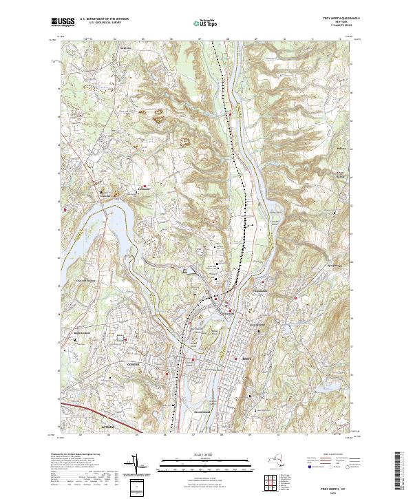
2023 Map of Troy North
USGS Topo · Published 2023About this map
The confluence of the Mohawk River and the Hudson River anchors this detailed study of the capital region's industrial and transport corridors. The landscape is defined by the historic waterway systems, including segments of the Old Champlain Canal and the dramatic Cohoes Falls. Highly developed urban centers like Cohoes, Waterford, and the northern reaches of Troy are shown in dense detail, surrounded by numerous historic burial grounds such as Oakwood Cem and Waterford Rural Cem.
Find a feature on this map
222 named features on this map. Tap any name to fly to it.
Don’t see what you’re looking for? This feature index may not catch every label — zoom into the map to look around manually.
Map Details
Editions of this 2023 Troy North Map
This is the sole edition of this map. No revisions or reprints were ever made.
Other maps of this area

1893 · Cohoes
USGS Topo · 1:62,500

1893 · Troy
USGS Topo · 1:62,500

1893 · Schenectady
USGS Topo · 1:62,500

1893 · Albany
USGS Topo · 1:62,500

1895 · Troy
USGS Topo · 1:62,500

1895 · Cohoes
USGS Topo · 1:62,500

1895 · Albany
USGS Topo · 1:62,500

1895 · Schenectady
USGS Topo · 1:62,500

1898 · Schenectady
USGS Topo · 1:62,500

1898 · Albany
USGS Topo · 1:62,500