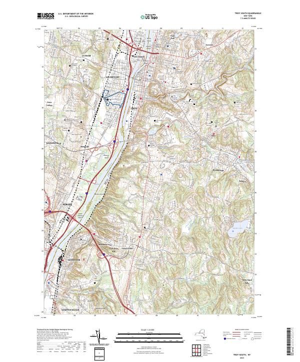
2023 Map of Troy South
USGS Topo · Published 2023About this map
The Hudson River serves as the central artery for this densely populated corridor, separating Albany and Watervliet on the west bank from Troy and Rensselaer on the east. The landscape is defined by its deep institutional and civic roots, anchored by the Rensselaer County Courthouse and prominent educational campuses such as the Rensselaer Polytechnic Institute and Sage College. A significant portion of the western riverbank is dedicated to memorial grounds, notably the sprawling Albany Rural Cem and Saint Agnes Cemetery.
Find a feature on this map
71 named features on this map. Tap any name to fly to it.
Don’t see what you’re looking for? This feature index may not catch every label — zoom into the map to look around manually.
Map Details
Editions of this 2023 Troy South Map
This is the sole edition of this map. No revisions or reprints were ever made.
Other maps of this area

1893 · Cohoes
USGS Topo · 1:62,500

1893 · Troy
USGS Topo · 1:62,500

1893 · Schenectady
USGS Topo · 1:62,500

1893 · Albany
USGS Topo · 1:62,500

1895 · Troy
USGS Topo · 1:62,500

1895 · Cohoes
USGS Topo · 1:62,500

1895 · Albany
USGS Topo · 1:62,500

1895 · Schenectady
USGS Topo · 1:62,500

1898 · Schenectady
USGS Topo · 1:62,500

1898 · Albany
USGS Topo · 1:62,500