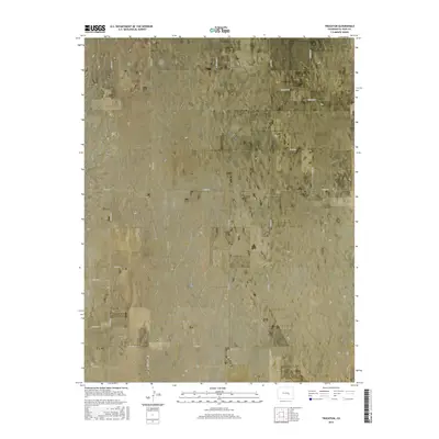
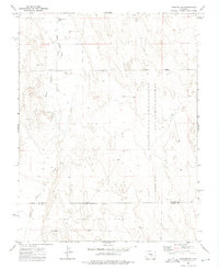
2016 Map of Truckton
USGS Topo · Published 2016About this map
Truckton serves as the primary focal point of this high plains landscape in El Paso County, where the grid of the Public Land Survey System heavily dictates the modern road network. The terrain is defined by subtle elevation shifts and scattered intermittent wetlands, with Signal Rock standing out as a notable geographic landmark. This 2016 survey highlights a transition toward specialized land use, exemplified by the presence of Foxx Valley Airport in the southwestern portion of the quadrangle. A network of local roads such as Plank Rd, Boone Rd, and Edison Rd connects the dispersed agricultural holdings and homesteads. The map illustrates how historic township and range lines, including t15s r61w and t16s r60w, continue to organize the rural Colorado territory into the 21st century.
Find a feature on this map
27 named features on this map. Tap any name to fly to it.
Don’t see what you’re looking for? This feature index may not catch every label — zoom into the map to look around manually.
Map Details
Editions of this 2016 Truckton Map
This is the sole edition of this map. No revisions or reprints were ever made.
Other maps of this area

1893 · Big Springs
USGS Topo · 1:125,000

1954 · Pueblo
USGS Topo · 1:250,000

1957 · Pueblo
USGS Topo · 1:250,000

1958 · Pueblo
USGS Topo · 1:250,000

1962 · Pueblo
USGS Topo · 1:250,000

1966 · Pueblo
USGS Topo · 1:250,000
1973 · Hanover NE
USGS Topo · 1:24,000
1973 · Truckton
USGS Topo · 1:24,000
1973 · Truckton SE
USGS Topo · 1:24,000
1973 · Hanover SE
USGS Topo · 1:24,000