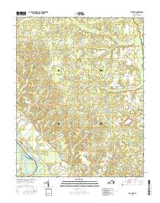
2016 Map of Truhart
USGS Topo · Published 2016About this map
The King and Queen Court House serves as the historic focal point for this rural Virginia landscape, situated near the western edge of the quadrangle. The terrain is defined by a dense network of swampy lowlands and creeks that feed toward the Mattaponi River, including Exol Swamp, Holmes Swamp, and the winding Timber Branch Swamp. These wetlands dictate the settlement patterns, with communities like Truhart, Little Plymouth, and Dragonville positioned on the higher ground between drainages.
Find a feature on this map
59 named features on this map. Tap any name to fly to it.
Don’t see what you’re looking for? This feature index may not catch every label — zoom into the map to look around manually.
Map Details
Editions of this 2016 Truhart Map
This is the sole edition of this map. No revisions or reprints were ever made.
Other maps of this area

1917 · Urbanna
USGS Topo · 1:62,500

1917 · Morattico
USGS Topo · 1:62,500

1918 · Tappahannock
USGS Topo · 1:62,500

1918 · Morattico
USGS Topo · 1:62,500

1919 · New Kent
USGS Topo · 1:62,500

1919 · Tappahannock
USGS Topo · 1:62,500

1926 · Morattico
USGS Topo · 1:62,500

1943 · Richmond
USGS Topo · 1:250,000

1944 · Dunnsville
USGS Topo · 1:31,680

1944 · Morattico
USGS Topo · 1:31,680