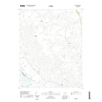
2019 Map of Truhart
USGS Topo · Published 2019About this map
Carlton Corner and Allen Shop Corner anchor the northern reaches of this coastal plain landscape, where the headwaters of numerous swamp systems define the local geography. The area is characterized by a dense network of slow-moving water bodies, including Exol Swamp, Holmes Swamp, and the winding Dragon Swamp along the eastern boundary. These wetlands are interspersed with small upland communities such as Dragonville and Truhart, which are connected by historic routes like The Trail.
Find a feature on this map
61 named features on this map. Tap any name to fly to it.
Don’t see what you’re looking for? This feature index may not catch every label — zoom into the map to look around manually.
Map Details
Editions of this 2019 Truhart Map
This is the sole edition of this map. No revisions or reprints were ever made.
Other maps of this area

1917 · Urbanna
USGS Topo · 1:62,500

1917 · Morattico
USGS Topo · 1:62,500

1918 · Tappahannock
USGS Topo · 1:62,500

1918 · Morattico
USGS Topo · 1:62,500

1919 · New Kent
USGS Topo · 1:62,500

1919 · Tappahannock
USGS Topo · 1:62,500

1926 · Morattico
USGS Topo · 1:62,500

1943 · Richmond
USGS Topo · 1:250,000

1944 · Dunnsville
USGS Topo · 1:31,680

1944 · Morattico
USGS Topo · 1:31,680