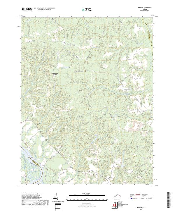
2022 Map of Truhart
USGS Topo · Published 2022About this map
Mattaponi River tides and expansive wetland systems define the landscape of King and Queen County, where the river meets the Gleason Marsh near Davis Beach. This modern topographic study reveals a rural network of historic crossroads and swamp-side settlements connected by The Trail. The interior is characterized by dense drainage basins, including the winding Exol Swamp and Dragon Swamp, which historically influenced the placement of early communities like Dragonville and Truhart.
Find a feature on this map
67 named features on this map. Tap any name to fly to it.
Don’t see what you’re looking for? This feature index may not catch every label — zoom into the map to look around manually.
Map Details
Editions of this 2022 Truhart Map
This is the sole edition of this map. No revisions or reprints were ever made.
Other maps of this area

1917 · Urbanna
USGS Topo · 1:62,500

1917 · Morattico
USGS Topo · 1:62,500

1918 · Tappahannock
USGS Topo · 1:62,500

1918 · Morattico
USGS Topo · 1:62,500

1919 · New Kent
USGS Topo · 1:62,500

1919 · Tappahannock
USGS Topo · 1:62,500

1926 · Morattico
USGS Topo · 1:62,500

1943 · Richmond
USGS Topo · 1:250,000

1944 · Dunnsville
USGS Topo · 1:31,680

1944 · Morattico
USGS Topo · 1:31,680