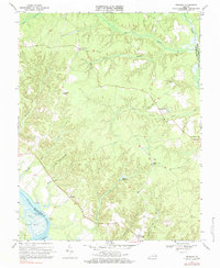
1970 Map of Truhart
USGS Topo · Published 1984About this map
The Mattaponi River serves as a primary geographic anchor for this section of King and Queen County, where tidal flats and marshes like Gleason Marsh meet the higher ground of Mitchell Hill. The map documents a landscape defined by its intricate drainage systems, most notably the extensive Exol Swamp and Dragon Swamp, which separate local settlements. Small communities and crossroads such as Truhart, Dragonville, and Little Plymouth appear alongside established religious and social sites, including Lower King and Queen Ch and Second Mount Olive Ch. These features reflect a rural economy and social structure tied to both the river and the fertile, well-drained corners of land between the swamps, such as Allen Shop Corner and Carlton Corner. Local industries are hinted at through features like the Gravel Pit and Allens Millpond.
Find a feature on this map
29 named features on this map. Tap any name to fly to it.
Don’t see what you’re looking for? This feature index may not catch every label — zoom into the map to look around manually.
Map Details
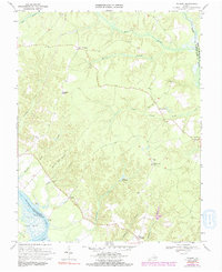
Editions of this 1970 Truhart Map
2 editions found
Other maps of this area

1917 · Urbanna
USGS Topo · 1:62,500

1917 · Morattico
USGS Topo · 1:62,500

1918 · Tappahannock
USGS Topo · 1:62,500

1918 · Morattico
USGS Topo · 1:62,500

1919 · New Kent
USGS Topo · 1:62,500

1919 · Tappahannock
USGS Topo · 1:62,500

1926 · Morattico
USGS Topo · 1:62,500

1943 · Richmond
USGS Topo · 1:250,000

1944 · Dunnsville
USGS Topo · 1:31,680

1944 · Morattico
USGS Topo · 1:31,680