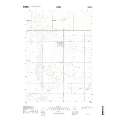
2022 Map of Truman
USGS Topo · Published 2022About this map
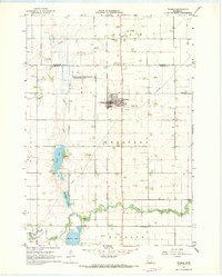
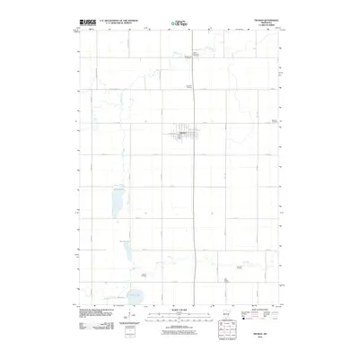
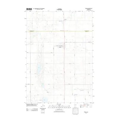
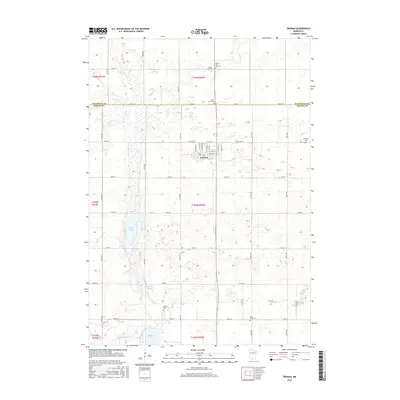
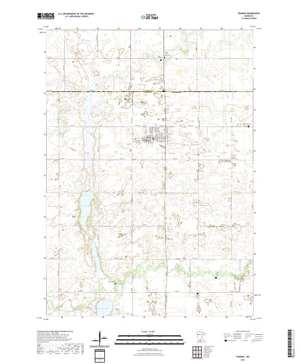
Truman serves as the central hub of this agricultural landscape along the border of Watonwan and Martin Counties. The town is meticulously mapped, showing a grid of streets including N Central Ave and E Ciro St. Outside the town center, the land is defined by a series of small water bodies and drainage systems such as Perch Cr and Elm Cr, which eventually lead to Perch Lake and Martin Lake. This survey is particularly notable for its density of burial sites, documenting family and community heritage through locations like True Farm Cem and Antrim - Saint John Cem. The preservation of these distinct cemetery names, such as Ridge Lawn Cem and Horicon Cem, provides a detailed record of the rural neighborhoods that developed around the county line.
Find a feature on this map
55 named features on this map. Tap any name to fly to it.
Don’t see what you’re looking for? This feature index may not catch every label — zoom into the map to look around manually.
Map Details
Editions of this 2022 Truman Map
This is the sole edition of this map. No revisions or reprints were ever made.
Historical Maps of Truman Through Time
6 maps found