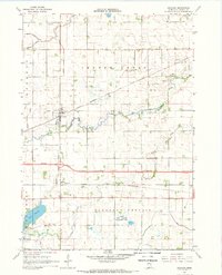
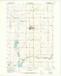
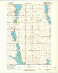
1967 Map of Granada
USGS Topo · Published 1968About this map
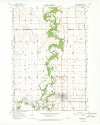
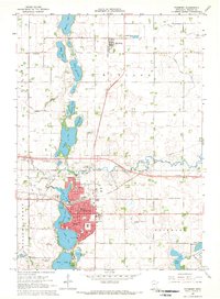
The agricultural landscape of Martin County is defined by a sophisticated network of drainage infrastructure, such as Judicial Ditch No 11 and Judicial Ditch No 28, which transformed the wet prairie of Pleasant Prairie into productive farmland. Two major rail lines intersect this territory: the Chicago Milwaukee St Paul and Pacific serving the village of Granada, and the Chicago and North Western passing through the small settlement of Imogene.
Find a feature on this map
29 named features on this map. Tap any name to fly to it.
Don’t see what you’re looking for? This feature index may not catch every label — zoom into the map to look around manually.
Map Details
Editions of this 1967 Granada Map
This is the sole edition of this map. No revisions or reprints were ever made.
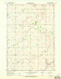
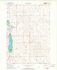
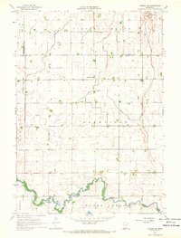
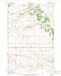
Other maps of this area

1954 · Fairmont
USGS Topo · 1:250,000

1958 · Fairmont
USGS Topo · 1:250,000
1967 · Truman
USGS Topo · 1:24,000
1967 · Pilot Grove
USGS Topo · 1:24,000
1967 · East Chain
USGS Topo · 1:24,000
1967 · Wilmert Lake
USGS Topo · 1:24,000
1967 · Truman SE
USGS Topo · 1:24,000
1967 · Winnebago
USGS Topo · 1:24,000
1967 · Huntley
USGS Topo · 1:24,000
1967 · Fairmont
USGS Topo · 1:24,000