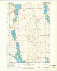
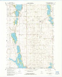
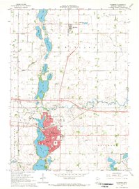
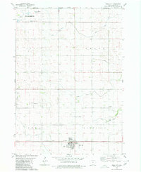
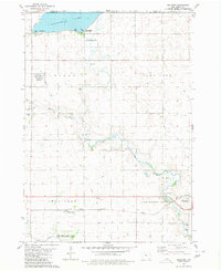
1967 Map of Wilmert Lake
USGS Topo · Published 1968About this map
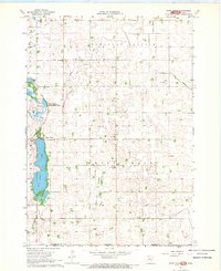
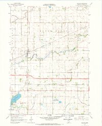
Wilmert Lake and the surrounding chain of water bodies dominate this mid-century landscape along the Minnesota-Iowa border. This survey captures a highly engineered agricultural region defined by an extensive drainage system, including Judicial Ditch No 64, Judicial Ditch No 98, and Ditch No 28. These waterworks intersect with the townships of Rolling Green, Tenhassen, Silver Lake, and the southern portions of Fairmont.
Find a feature on this map
33 named features on this map. Tap any name to fly to it.
Don’t see what you’re looking for? This feature index may not catch every label — zoom into the map to look around manually.
Map Details
Editions of this 1967 Wilmert Lake Map
2 editions found
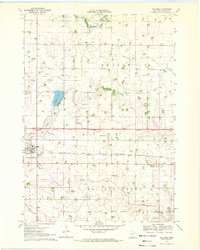
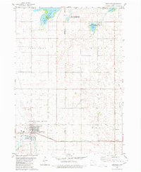
Other maps of this area

1954 · Fairmont
USGS Topo · 1:250,000

1958 · Fairmont
USGS Topo · 1:250,000
1967 · East Chain
USGS Topo · 1:24,000
1967 · Granada
USGS Topo · 1:24,000
1967 · Fairmont
USGS Topo · 1:24,000
1970 · Welcome
USGS Topo · 1:24,000
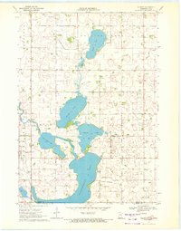
1970 · Wilbert
USGS Topo · 1:24,000
1980 · Armstrong
USGS Topo · 1:24,000
1980 · Swea City
USGS Topo · 1:24,000
1980 · Dolliver
USGS Topo · 1:24,000