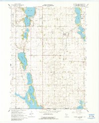
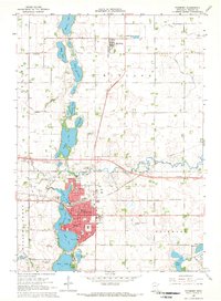
1967 Map of Wilmert Lake
USGS Topo · Published 1988About this map
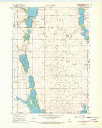
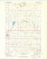
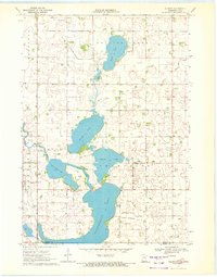
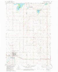
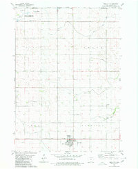
The Minnesota-Iowa border region south of Fairmont is defined by a chain of glacial lakes and an extensive network of drainage infrastructure. This 1960s landscape shows the transition from the southern corporate boundary of Fairmont into the agricultural townships of Silver Lake, Tenhassen, and Rolling Green. The map provides detailed soundings and depth curves for prominent water bodies such as Wilmert Lake, North Silver Lake, and Iowa Lake, the latter of which straddles the state line into Emmet and Kossuth counties.
Find a feature on this map
31 named features on this map. Tap any name to fly to it.
Don’t see what you’re looking for? This feature index may not catch every label — zoom into the map to look around manually.
Map Details
Editions of this 1967 Wilmert Lake Map
2 editions found
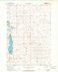
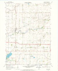
Other maps of this area

1954 · Fairmont
USGS Topo · 1:250,000

1958 · Fairmont
USGS Topo · 1:250,000
1967 · East Chain
USGS Topo · 1:24,000
1967 · Wilmert Lake
USGS Topo · 1:24,000
1967 · Granada
USGS Topo · 1:24,000
1967 · Fairmont
USGS Topo · 1:24,000
1970 · Welcome
USGS Topo · 1:24,000
1970 · Wilbert
USGS Topo · 1:24,000
1980 · Armstrong
USGS Topo · 1:24,000
1980 · Swea City
USGS Topo · 1:24,000