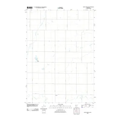
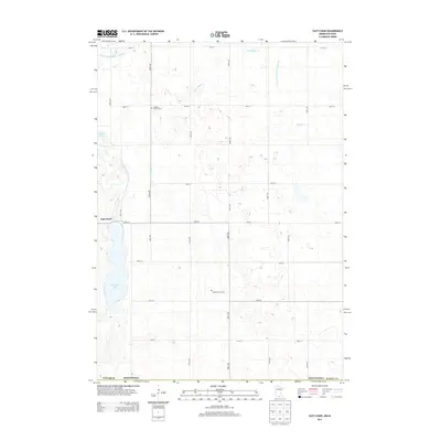
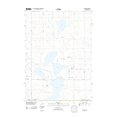
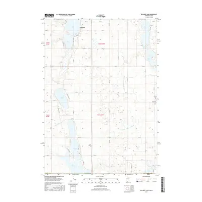
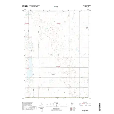
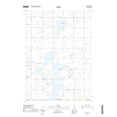
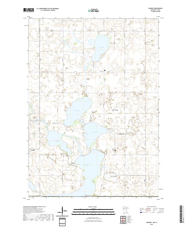
1970 Map of Wilbert
USGS Topo · Published 1972About this map
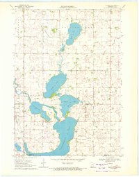
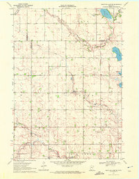
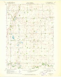
Glacial lakes and marshy lowlands dominate this 1970 landscape along the Minnesota and Iowa border. The terrain is defined by a chain of water bodies, including the expansive Okamanpeedan Lake and Little Tuttle Lake, which are connected by The Inlet. The rural character of Tenhassen township is evident through the placement of the Wilbert Townhall and the nearby Tenhassen Cem, serving as focal points for the surrounding farming community.
Find a feature on this map
21 named features on this map. Tap any name to fly to it.
Don’t see what you’re looking for? This feature index may not catch every label — zoom into the map to look around manually.
Map Details
Editions of this 1970 Wilbert Map
This is the sole edition of this map. No revisions or reprints were ever made.
Historical Maps of Ceylon Through Time
36 maps found
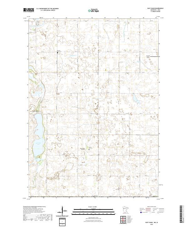
1967 East Chain
Martin County, MN
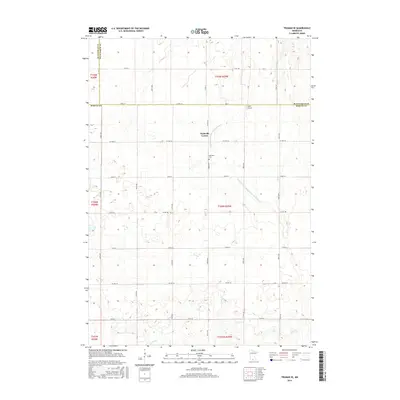
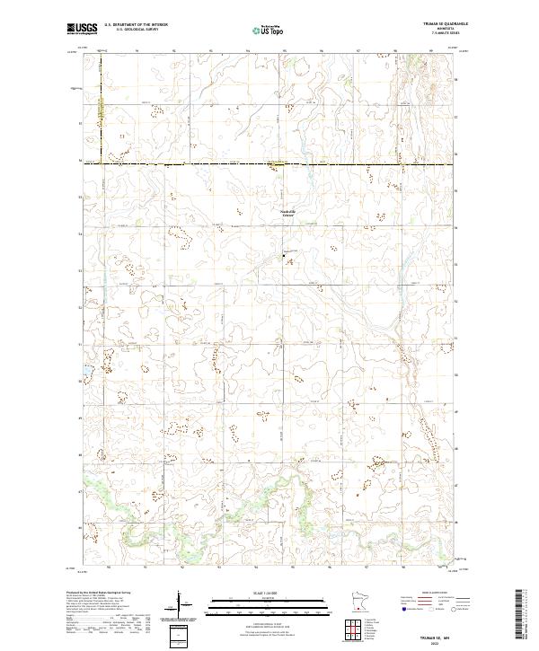
1967 Truman SE
Martin County, MN
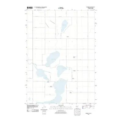
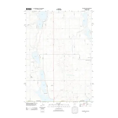
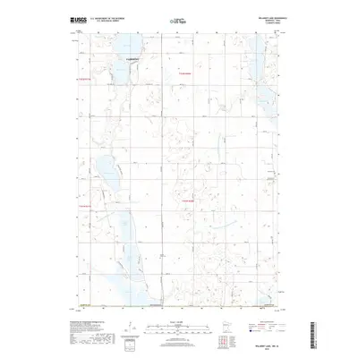
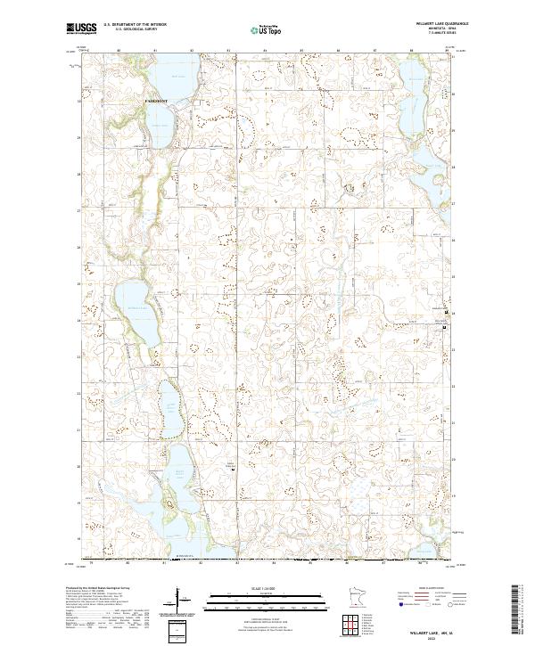
1967 Wilmert Lake
Martin County, MN
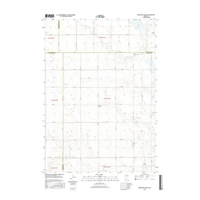
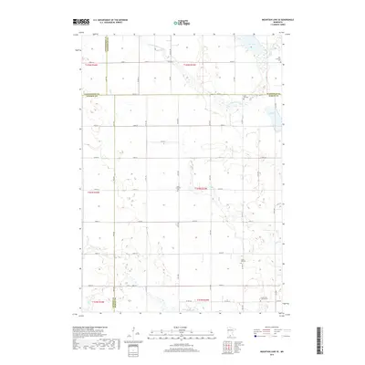
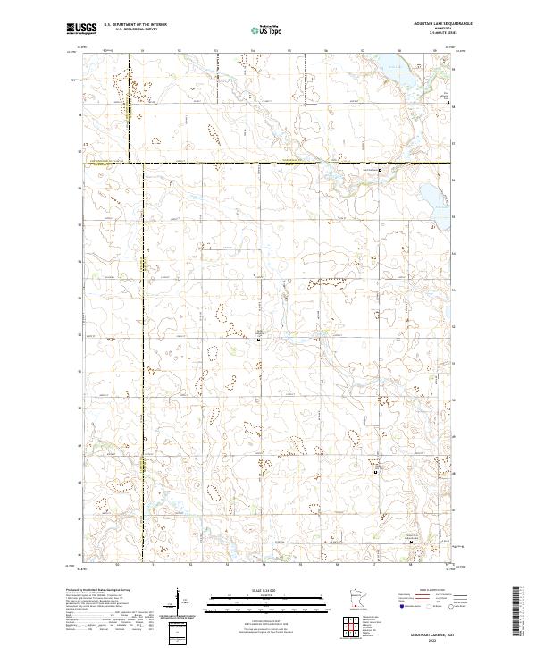
1970 Mountain Lake SE
Martin County, MN
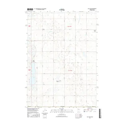
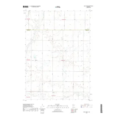
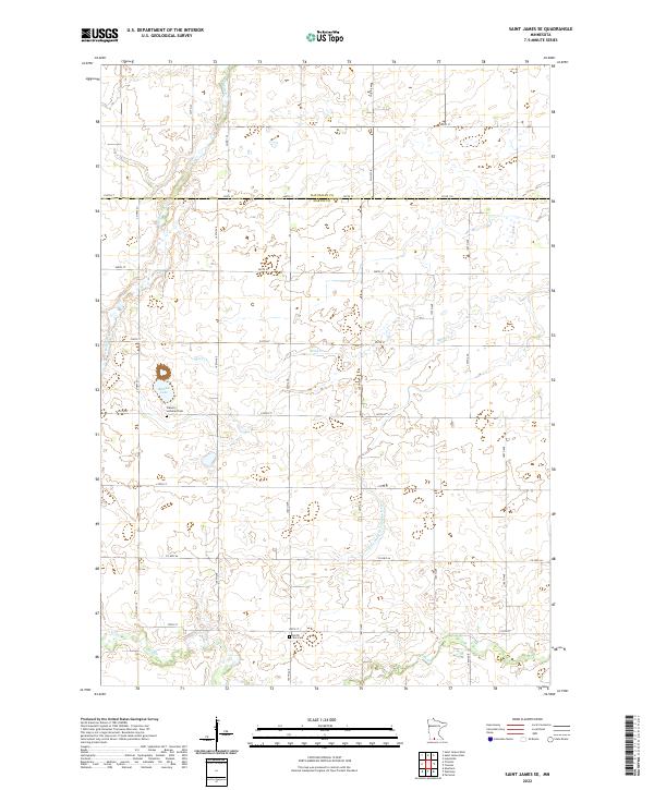
1970 St James SE
Martin County, MN
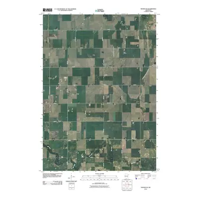
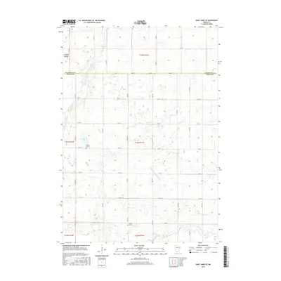
1970 Wilbert
Martin County, MN
2010 East Chain
Martin County, MN
2010 Mountain Lake SE
Martin County, MN
2010 Saint James SE
Martin County, MN
2010 Truman SE
Martin County, MN
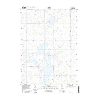
2010 Wilbert
Martin County, MN
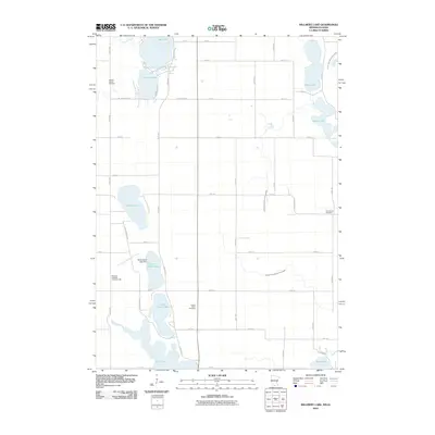
2010 Willmert Lake
Martin County, MN
2013 East Chain
Martin County, MN
2013 Mountain Lake SE
Martin County, MN
2013 Saint James SE
Martin County, MN
2013 Truman SE
Martin County, MN
2013 Wilbert
Martin County, MN
2013 Willmert Lake
Martin County, MN
2016 East Chain
Martin County, MN
2016 Mountain Lake SE
Martin County, MN
2016 Saint James SE
Martin County, MN
2016 Truman SE
Martin County, MN
2016 Wilbert
Martin County, MN
2016 Willmert Lake
Martin County, MN
2019 East Chain
Martin County, MN
2019 Mountain Lake SE
Martin County, MN
2019 Saint James SE
Martin County, MN
2019 Truman SE
Martin County, MN
2019 Wilbert
Martin County, MN
2019 Willmert Lake
Martin County, MN
2022 East Chain
Martin County, MN
2022 Mountain Lake SE
Martin County, MN
2022 Saint James SE
Martin County, MN
2022 Truman SE
Martin County, MN
2022 Wilbert
Martin County, MN
2022 Willmert Lake
Martin County, MN