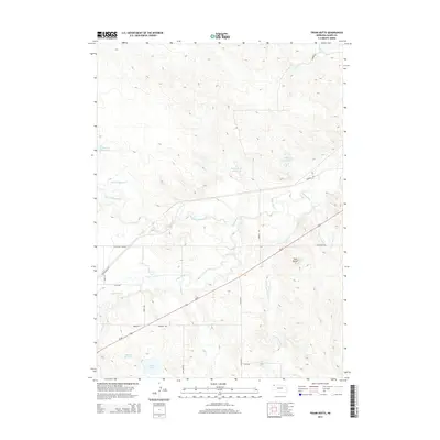
2014 Map of Trunk Butte
USGS Topo · Published 2014About this map
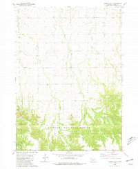
Trunk Butte rises as a prominent landmark in this Dawes County landscape, situated amidst a network of prairie drainages and man-made water improvements. The White River winds through the central portion of the quadrangle, joined by tributaries such as Trunk Butte Cr, Big Cottonwood Cr, and Dead Horse Cr. This 2014 survey reveals a region defined by its ranching infrastructure, where numerous reservoirs and lakes—including Schmacken Reservoir, Schuhmacher Reservoir, and Snus Lake—support the local agricultural economy.
Find a feature on this map
26 named features on this map. Tap any name to fly to it.
Don’t see what you’re looking for? This feature index may not catch every label — zoom into the map to look around manually.
Map Details
Editions of this 2014 Trunk Butte Map
This is the sole edition of this map. No revisions or reprints were ever made.
Other maps of this area

1955 · Alliance
USGS Topo · 1:250,000

1957 · Alliance
USGS Topo · 1:250,000

1958 · Alliance
USGS Topo · 1:250,000
1970 · Bohemian Creek
USGS Topo · 1:24,000

1980 · Crow Butte
USGS Topo · 1:24,000
1980 · Coffee Mill Butte
USGS Topo · 1:24,000

1980 · Lone Tree Ranch
USGS Topo · 1:24,000

1980 · Wayside
USGS Topo · 1:24,000
1980 · Trunk Butte
USGS Topo · 1:24,000
1980 · Chimney Butte
USGS Topo · 1:24,000